Seaport · Norway

FauskeNOFAU

67.2500°, 15.3989°
Fauske is also a UN/LOCODE logistics hub →

Channel & Berth Profile

SEA LEVEL (CD)CHANNEL BEDCargo pier · 6.4 mAnchorage · 9.4 m
NGA World Port Index

Pilotage, Tugs & Services

MedicalYES
NGA World Port Index

Facilities & Capabilities

ContainerNO
Ro-RoNO
Liquid bulkNO
Dry bulkNO
Oil terminal
Break bulkYES
Dry dock
Repairs
Bunkering
Rail linkYES
Dangerous cargo
ISPS security
NGA World Port Index

Harbour Specifications
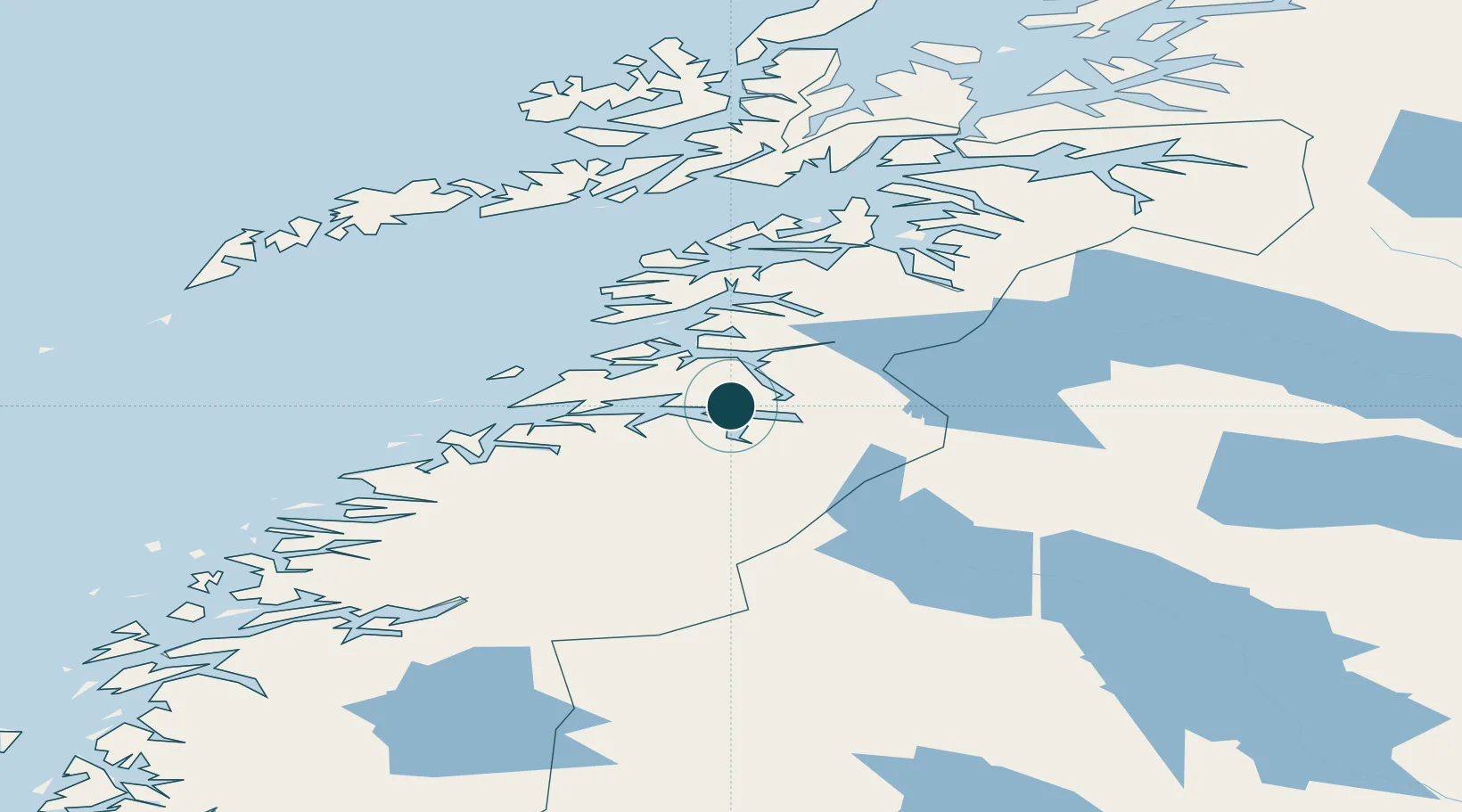
Harbour size
Very Small
NGA World Port Index
Harbour type
Coastal (Natural)
NGA World Port Index
Shelter
Good
NGA World Port Index
Water body
Norwegian Sea; North Atlantic Ocean
NGA World Port Index

Location

Location of NOFAU
Natural Earth 10m (public domain) · Nordland · NOFAU · 67.25, 15.40GoogleOSMYandex

Nearby Logistics Neighbours

Ports
  1. 1Lakselv15 km
  2. 2Rognan16 km
  3. 3Kjerringoy41 km
  4. 4Bodo45 km
  5. 5Glomfjord79 km
Nearest neighbours — logibook spatial index (haversine) over the source coordinates
Cities
  1. 1Finneid1 km
  2. 2Sørfold14 km
  3. 3Salten15 km
  4. 4Rognan17 km
  5. 5Hammerfall18 km
Nearest neighbours — logibook spatial index (haversine) over the source coordinates
Airports
  1. 1Bodø Airport45 km
  2. 2Mo i Rana Airport, Røssvoll110 km
  3. 3Svolvær Airport, Helle115 km
  4. 4Værøy Heliport123 km
  5. 5Leknes Airport126 km
Nearest neighbours — logibook spatial index (haversine) over the source coordinates
Trade Zones
  1. 1Oulu Port Free Warehouse Area515 km
  2. 2Turku Free Zone826 km
  3. 3Stockholm Free Zone889 km
  4. 4Freeport of Hanko903 km
  5. 5Port of Hamina-Kotka939 km
Nearest neighbours — logibook spatial index (haversine) over the source coordinates
DatabookThe Record of Consolidated Knowledge
Norway beyond logistics?
Browse databook

All Sources

Portsthe NGA World Port Index
Public domain (US gov)
AirportsOurAirports
Public domain
LocationsUN/LOCODE
UN/LOCODE — free
Trade Zonesthe World Bank SEZ database
CC BY 4.0
Trade ZonesOpen Zone Map
CC BY
← Norway ports