Transport Functions
Port
Road
Hub Profile
Region
18
Logistics facilities
1
Container terminals
1
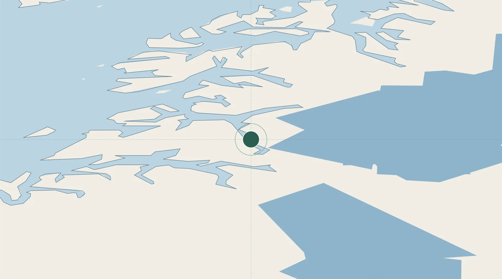
Location
Nearby Logistics Neighbours
Cities
- 1Sørfold2 km
- 2Hammerfall5 km
- 3Finneid15 km
- 4Fauske16 km
- 5Rognan31 km
Ports
- 1Lakselv1 km
- 2Fauske15 km
- 3Rognan30 km
- 4Kjerringoy39 km
- 5Bodo53 km
Airports
- 1Bodø Airport54 km
- 2Svolvær Airport, Helle105 km
- 3Leknes Airport121 km
- 4Mo i Rana Airport, Røssvoll125 km
- 5Værøy Heliport126 km
Trade Zones
- 1Oulu Port Free Warehouse Area513 km
- 2Turku Free Zone834 km
- 3Stockholm Free Zone900 km
- 4Freeport of Hanko911 km
- 5Port of Hamina-Kotka944 km
DatabookThe Record of Consolidated Knowledge
Norway beyond logistics?