Medium airport · Norway
Svolvær Airport, HelleENSH
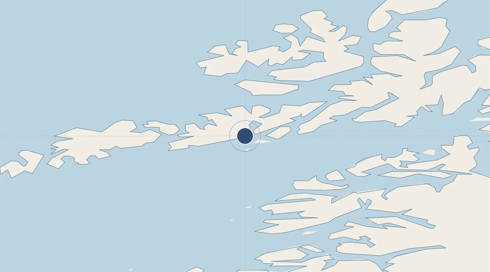
68.2433°, 14.6692°
3,104 ft
Longest runway
1
Runways
27 ft
Elevation
Runway & Layout

Navaids
HL NDB Helle 259 kHz
KN NDB Skrova 300 kHz
Runways · 1
| Runway | Dimensions | Surface | True heading | Lit |
|---|---|---|---|---|
| 36/18 | 3,104 × 98ft | Asphalt | 009° | — |
Airport Specifications
IATA code
SVJ
ICAO code
ENSH
Airport class
Medium airport
Scheduled service
Yes
Runway surface
Asphalt
Served city
Svolvær
Location
Nearby Logistics Neighbours
Airports
- 1Stokmarknes Airport, Skagen40 km
- 2Leknes Airport45 km
- 3Harstad/Narvik Airport87 km
- 4Værøy Heliport104 km
- 5Bodø Airport109 km
Cities
- 1Svolvær Osan6 km
- 2Svolvær6 km
- 3Brettesnes8 km
- 4Kabelvåg8 km
- 5Skrova9 km
Ports
- 1Svolvaer4 km
- 2Brettesnes8 km
- 3Skrova Havn9 km
- 4Henningsvaer21 km
- 5Stamsund37 km
Trade Zones
- 1Oulu Port Free Warehouse Area595 km
- 2Turku Free Zone939 km
- 3Stockholm Free Zone1003 km
- 4Freeport of Hanko1015 km
- 5Port of Hamina-Kotka1043 km
DatabookThe Record of Consolidated Knowledge
Norway beyond logistics?