Channel & Berth Profile
Facilities & Capabilities
Container—
Ro-Ro—
Liquid bulk—
Dry bulk—
Oil terminal—
Break bulk—
Dry dock—
Repairs—
Bunkering—
Rail link—
Dangerous cargo—
ISPS security—
Harbour Specifications
Harbour size
Very Small
Harbour type
Coastal (Natural)
Shelter
Fair
Water body
Norwegian Sea; North Atlantic Ocean
Overhead limit
No
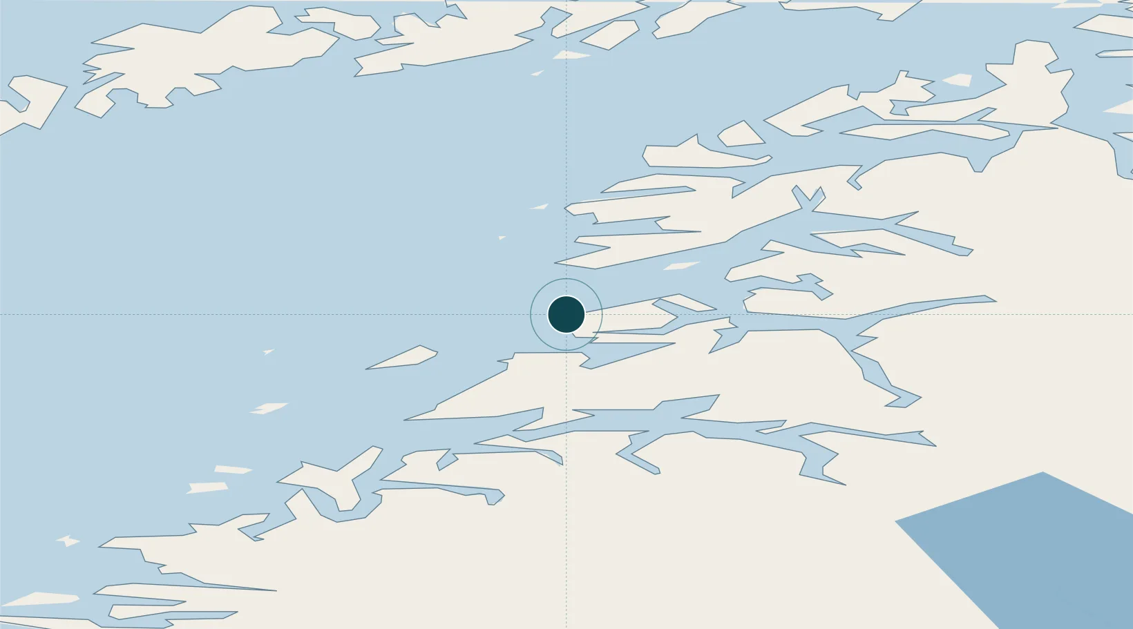
Location
Nearby Logistics Neighbours
Ports
- 1Bodo31 km
- 2Lakselv40 km
- 3Fauske41 km
- 4Rognan54 km
- 5Skrova Havn72 km
Airports
- 1Bodø Airport33 km
- 2Svolvær Airport, Helle80 km
- 3Leknes Airport85 km
- 4Værøy Heliport87 km
- 5Røst Airport113 km
Trade Zones
- 1Oulu Port Free Warehouse Area552 km
- 2Turku Free Zone866 km
- 3Stockholm Free Zone924 km
- 4Freeport of Hanko943 km
- 5Port of Hamina-Kotka980 km
DatabookThe Record of Consolidated Knowledge
Norway beyond logistics?