Export Processing Zone · Finland
Oulu Port Free Warehouse Area Active
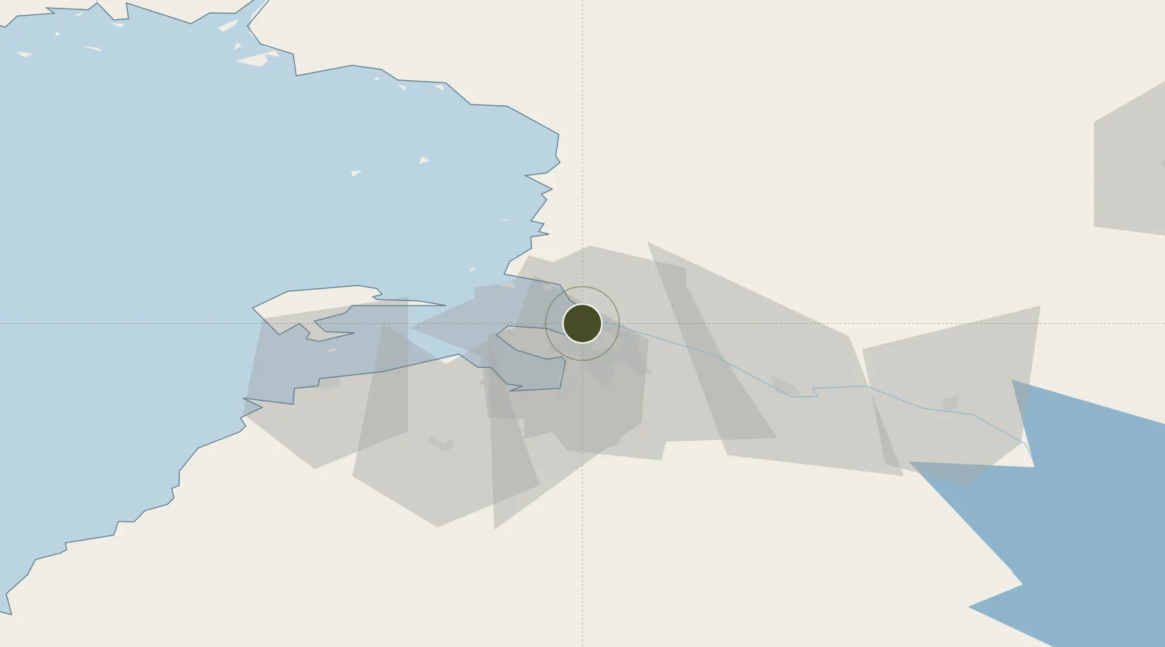
64.9969°, 25.4128°
2 ha
Zone area
2.3 km
Nearest port
7.9 km
Nearest airport
Gateway access
Zone profile
Zone type
Export Processing Zone
Region
Northern Ostrobothnia
Status
Active
Management
Public-Private Partnership
Operator
Oulun Konttivuokraus Oy, Port of Oulu Ltd.
Legal framework
Council Regulation (EEC) No 2913 /92 of 12 October 1992 Establishing the Community Customs Code (Articles 166-181) Commission Regulation (EEC) No. 2454/93· (Articles 799-814)
Location
Nearby Logistics Neighbours
Ports
- 1Oulu2 km
- 2Raahe59 km
- 3Veitsiluoto87 km
- 4Kemi91 km
- 5Tornio103 km
Airports
- 1Oulu Airport8 km
- 2Kemi-Tornio Airport95 km
- 3Ylivieska Airfield110 km
- 4Kajaani Airport134 km
- 5Luleå Airport165 km
Cities
- 1Oulu (Uleåborg)0 km
- 2Kempele10 km
- 3Varjakka17 km
- 4Halosenlahti27 km
- 5Hailuoto27 km
Trade Zones
- 1Free Zone of Lappeenranta460 km
- 2Port of Hamina-Kotka509 km
- 3Turku Free Zone532 km
- 4Murmansk Special Economic Zone552 km
- 5Freeport of Hanko589 km
DatabookThe Record of Consolidated Knowledge
Finland beyond logistics?