Export Processing Zone · Finland
Turku Free Zone Active
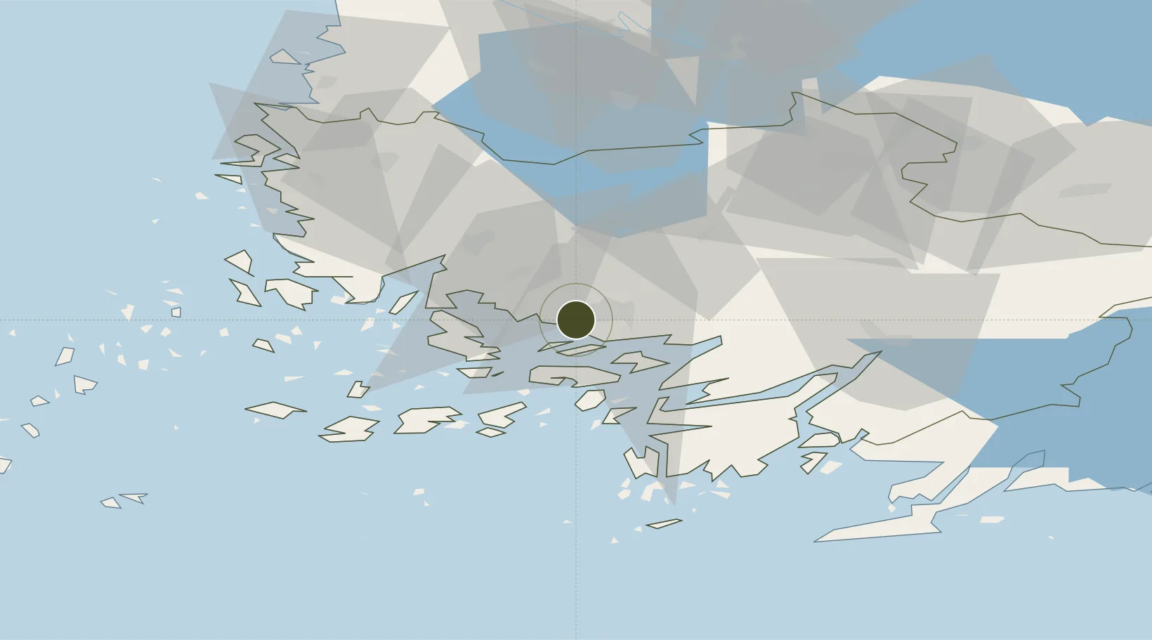
60.4442°, 22.2131°
30 ha
Zone area
1.3 km
Nearest port
8.2 km
Nearest airport
Gateway access
Zone profile
Zone type
Export Processing Zone
Region
Finland Proper
Status
Active
Management
Private
Operator
Turku Free Zone Company
Legal framework
Council Regulation (EEC) No 2913 /92 of 12 October 1992 Establishing the Community Customs Code (Articles 166-181) Commission Regulation (EEC) No. 2454/93· (Articles 799-814)
Location
Nearby Logistics Neighbours
Ports
- 1Turku1 km
- 2Naantali11 km
- 3Pargas20 km
- 4Uusikaupunki59 km
- 5Hanko81 km
Airports
- 1Turku Airport8 km
- 2Pori Airport115 km
- 3Tampere-Pirkkala Airport132 km
- 4Helsinki Vantaa Airport152 km
- 5Kärdla Airport165 km
Cities
- 1Åbo (Turku)1 km
- 2Vanhalinna9 km
- 3Naantali (Nådendal)10 km
- 4Littoinen10 km
- 5Piikkiö17 km
Trade Zones
- 1Freeport of Hanko78 km
- 2Paldiski Free Zone161 km
- 3Muuga Free Zone202 km
- 4Port of Hamina-Kotka259 km
- 5Stockholm Free Zone259 km
DatabookThe Record of Consolidated Knowledge
Finland beyond logistics?