Large airport · Norway
Bodø AirportENBO
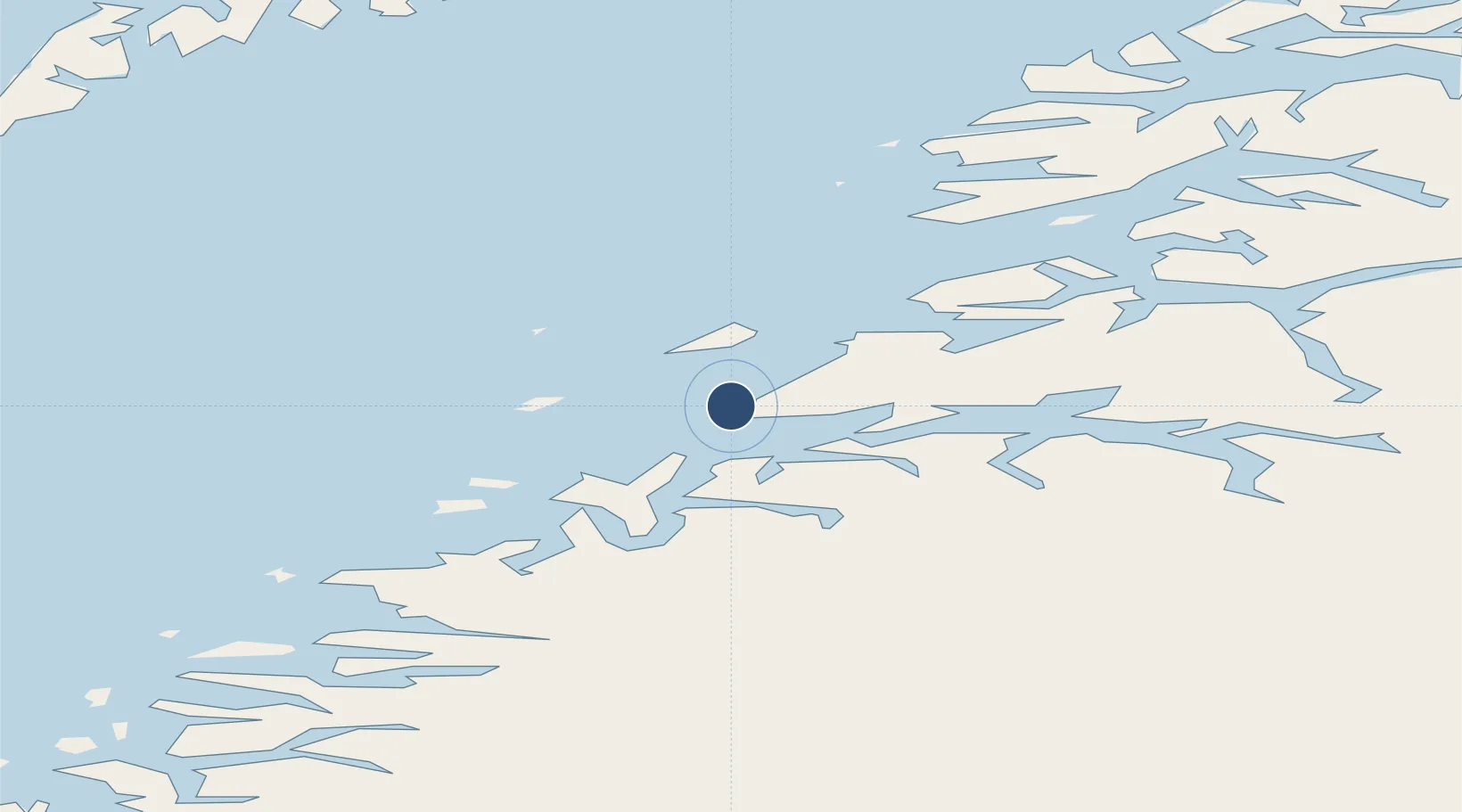
67.2692°, 14.3653°
9,167 ft
Longest runway
1
Runways
42 ft
Elevation
Runway & Layout

Radio Frequencies
ATIS
123.9 MHz
TWR
118.1 MHz
A/D
119.7 MHz
APP/DEP
Navaids
BDO VOR-DME Bodo 117.20 MHz
BOO TACAN Bodo 110.80 MHz
FLV NDB Fleinvaer 374 kHz
FSK NDB Fauske 326 kHz
STT NDB Stott 317 kHz
Runways · 1
| Runway | Dimensions | Surface | True heading | Lit |
|---|---|---|---|---|
| 07/25 | 9,167 × 148ft | Concrete | 078° | ✓ |
Airport Specifications
IATA code
BOO
ICAO code
ENBO
Airport class
Large airport
Scheduled service
Yes
Runway surface
Concrete
Served city
Bodø
Location
Nearby Logistics Neighbours
Airports
- 1Værøy Heliport82 km
- 2Mo i Rana Airport, Røssvoll101 km
- 3Røst Airport101 km
- 4Leknes Airport103 km
- 5Svolvær Airport, Helle109 km
Ports
- 1Bodo2 km
- 2Kjerringoy33 km
- 3Fauske45 km
- 4Rognan48 km
- 5Ornes53 km
Trade Zones
- 1Oulu Port Free Warehouse Area557 km
- 2Turku Free Zone849 km
- 3Stockholm Free Zone900 km
- 4Freeport of Hanko927 km
- 5Port of Hamina-Kotka971 km
DatabookThe Record of Consolidated Knowledge
Norway beyond logistics?