Export Processing Zone · Finland
Freeport of Hanko Active
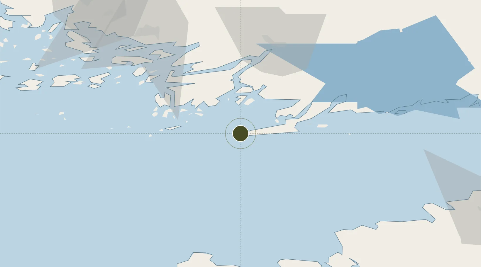
59.8295°, 22.8844°
20 ha
Zone area
3.9 km
Nearest port
83.5 km
Nearest airport
Gateway access
Zone profile
Zone type
Export Processing Zone
Region
Alaska
Status
Active
Management
Public-Private Partnership
Operator
Freeport of Finland Ltd. (Suomen Vapaasatama Oy)
Legal framework
Council Regulation (EEC) No 2913 /92 of 12 October 1992 Establishing the Community Customs Code (Articles 166-181) Commission Regulation (EEC) No. 2454/93· (Articles 799-814)
Location
Nearby Logistics Neighbours
Airports
- 1Turku Airport84 km
- 2Kärdla Airport93 km
- 3Ämari Air Base98 km
- 4Tallinn Linnahall Heliport113 km
- 5Lennart Meri Tallinn Airport119 km
Cities
- 1Hangö (Hanko)4 km
- 2Tvärminne17 km
- 3Koverhaara (Koverhar)19 km
- 4Bromarv19 km
- 5Lappohja (Lappvik)22 km
Trade Zones
- 1Turku Free Zone78 km
- 2Paldiski Free Zone87 km
- 3Muuga Free Zone134 km
- 4Port of Hamina-Kotka235 km
- 5Stockholm Free Zone274 km
DatabookThe Record of Consolidated Knowledge
Finland beyond logistics?