Channel & Berth Profile
Pilotage, Tugs & Services
Pilotage compulsoryYES
Pilotage availableYES
Pilotage advisableNO
Local assistanceNO
Tug assistanceYES
Salvage tugsYES
Shore powerNO
Potable waterYES
Diesel bunkersYES
MedicalYES
Garbage disposalYES
Facilities & Capabilities
ContainerYES
Ro-RoYES
Liquid bulkYES
Dry bulkYES
Oil terminal—
Break bulkYES
Dry dock—
RepairsNO
BunkeringYES
Rail linkYES
Dangerous cargo—
ISPS security—
Harbour Specifications
Harbour size
Very Small
Harbour type
Coastal (Breakwater)
Shelter
Good
Water body
Norwegian Sea; North Atlantic Ocean
Tidal range
2 m
Pilotage
Yes
Liner Connectivity
13.8
PLSCI
Port Liner Shipping Connectivity Index for Bodo, as published by UNCTAD for the latest available quarter. Higher values indicate stronger scheduled liner-shipping integration.
Shown relative to the highest per-port PLSCI in the dataset (1,657.9).
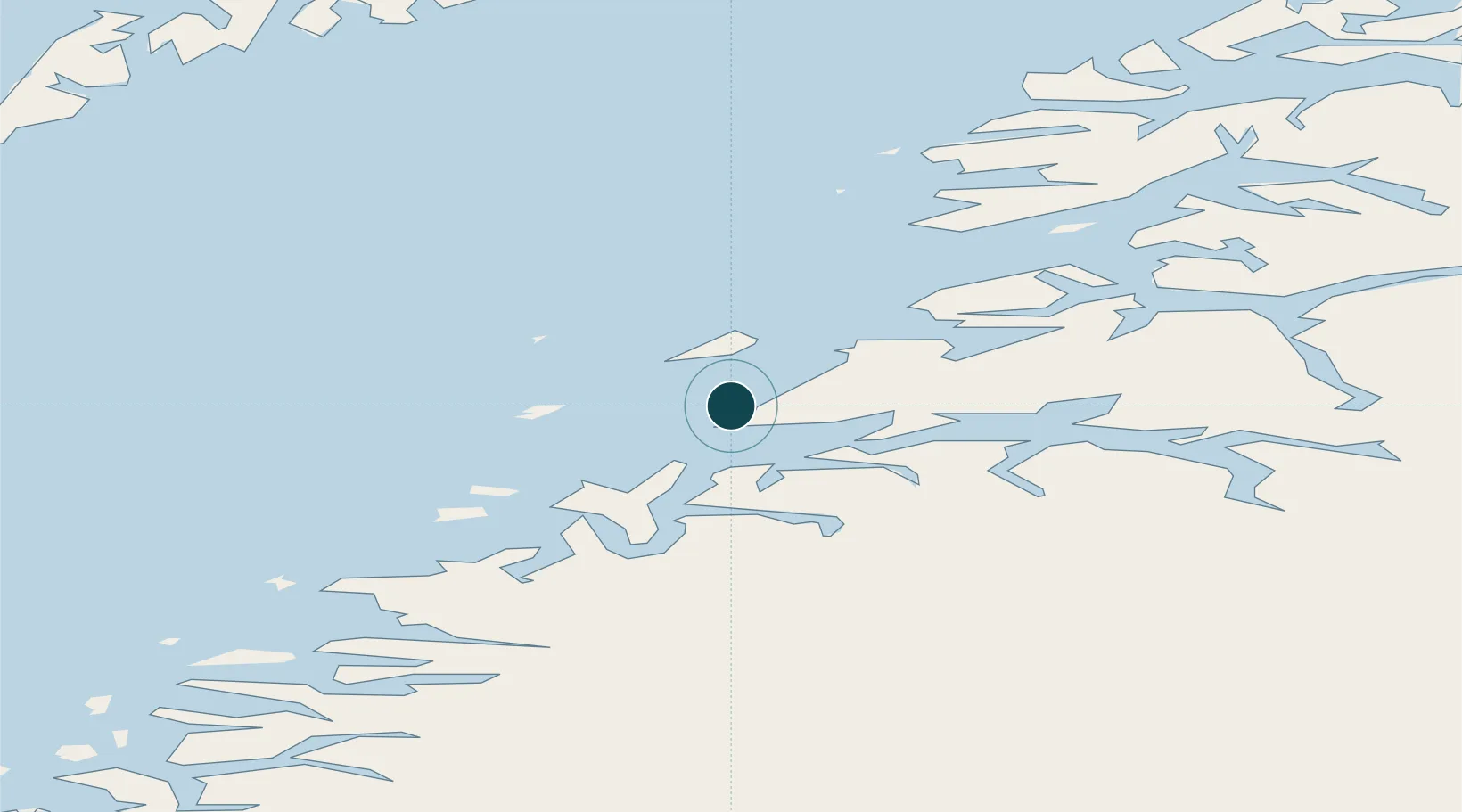
Location
Nearby Logistics Neighbours
Ports
- 1Kjerringoy31 km
- 2Fauske45 km
- 3Rognan49 km
- 4Lakselv53 km
- 5Ornes55 km
Airports
- 1Bodø Airport2 km
- 2Værøy Heliport81 km
- 3Røst Airport100 km
- 4Leknes Airport102 km
- 5Mo i Rana Airport, Røssvoll103 km
Trade Zones
- 1Oulu Port Free Warehouse Area557 km
- 2Turku Free Zone851 km
- 3Stockholm Free Zone902 km
- 4Freeport of Hanko928 km
- 5Port of Hamina-Kotka973 km
DatabookThe Record of Consolidated Knowledge
Norway beyond logistics?