Transport Functions
Port
Rail
Road
Hub Profile
Place type
Provincial seat
Region
Nordland
Population
2,584
Time zone
Europe/Oslo
Elevation
1 m
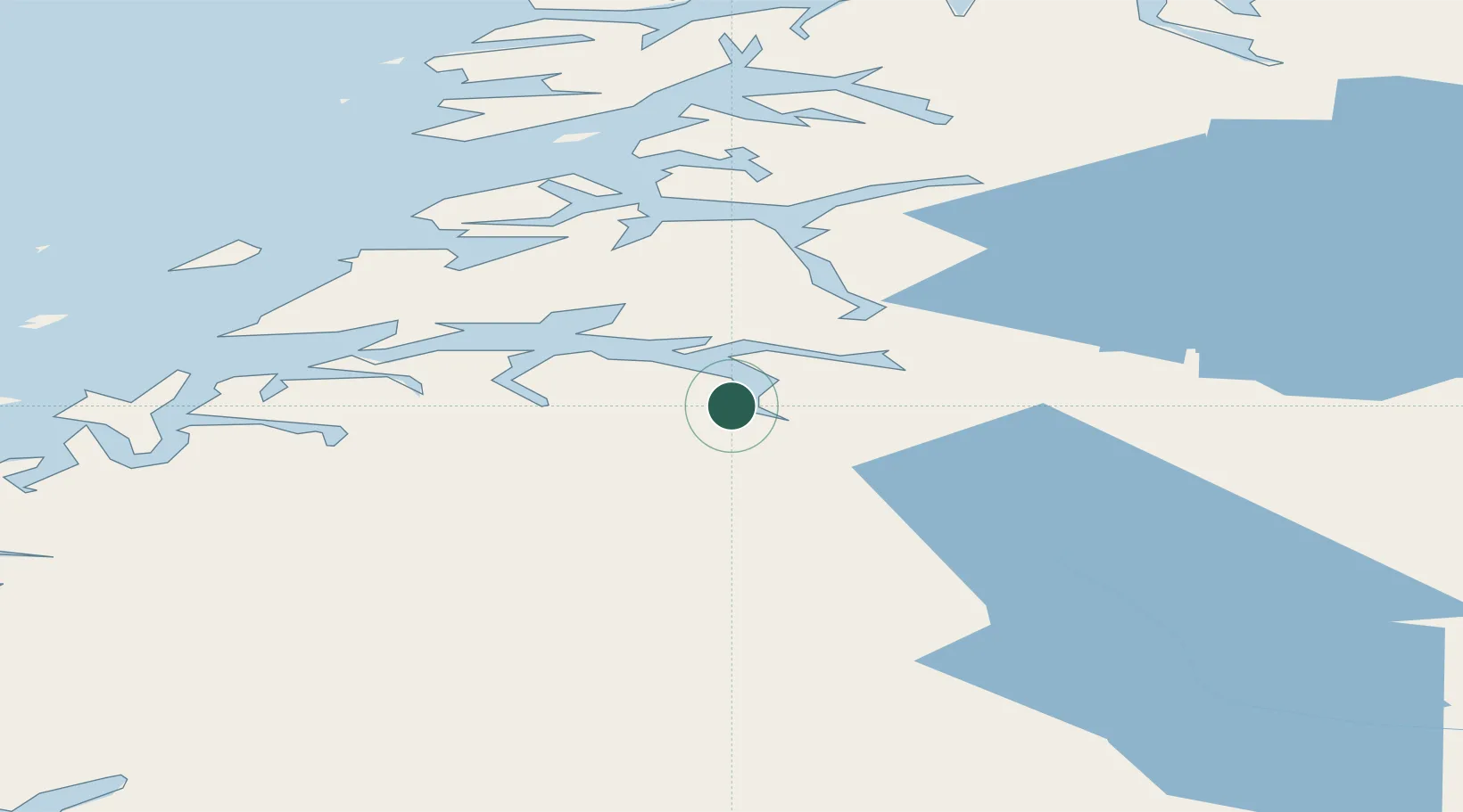
Location
Nearby Logistics Neighbours
Ports
- 1Fauske17 km
- 2Lakselv30 km
- 3Bodo49 km
- 4Kjerringoy54 km
- 5Glomfjord69 km
Airports
- 1Bodø Airport48 km
- 2Mo i Rana Airport, Røssvoll95 km
- 3Værøy Heliport129 km
- 4Svolvær Airport, Helle131 km
- 5Leknes Airport139 km
Trade Zones
- 1Oulu Port Free Warehouse Area509 km
- 2Turku Free Zone812 km
- 3Stockholm Free Zone873 km
- 4Freeport of Hanko889 km
- 5Port of Hamina-Kotka927 km
DatabookThe Record of Consolidated Knowledge
Norway beyond logistics?