Channel & Berth Profile
Pilotage, Tugs & Services
Pilotage compulsoryNO
Pilotage availableNO
Local assistanceNO
Tug assistanceNO
Salvage tugsNO
Potable waterYES
Diesel bunkersNO
Facilities & Capabilities
ContainerNO
Ro-RoNO
Liquid bulkNO
Dry bulkNO
Oil terminalNO
Break bulkNO
Dry dock—
Repairs—
BunkeringNO
Rail link—
Dangerous cargo—
ISPS security—
Harbour Specifications
Harbour size
Small
Harbour type
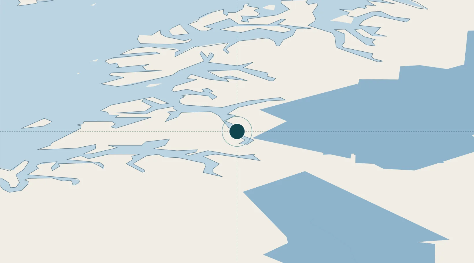
Coastal (Natural)
Shelter
Good
Water body
Norwegian Sea; North Atlantic Ocean
Pilotage
No
Location
Nearby Logistics Neighbours
Ports
- 1Fauske15 km
- 2Rognan29 km
- 3Kjerringoy40 km
- 4Bodo53 km
- 5Drag80 km
Cities
- 1Sørfold1 km
- 2Salten1 km
- 3Hammerfall5 km
- 4Finneid14 km
- 5Fauske15 km
Airports
- 1Bodø Airport54 km
- 2Svolvær Airport, Helle106 km
- 3Leknes Airport122 km
- 4Mo i Rana Airport, Røssvoll124 km
- 5Værøy Heliport126 km
Trade Zones
- 1Oulu Port Free Warehouse Area512 km
- 2Turku Free Zone833 km
- 3Stockholm Free Zone899 km
- 4Freeport of Hanko910 km
- 5Port of Hamina-Kotka943 km
DatabookThe Record of Consolidated Knowledge
Norway beyond logistics?