Runway & Layout

Runways · 1
| Runway | Dimensions | Surface | True heading | Lit |
|---|---|---|---|---|
| 03/21 | 194 × 112ft | Asphalt | — | ✓ |
Airport Specifications
IATA code
VRY
ICAO code
ENVR
Airport class
Heliport
Scheduled service
Yes
Runway surface
Asphalt
Served city
Værøy
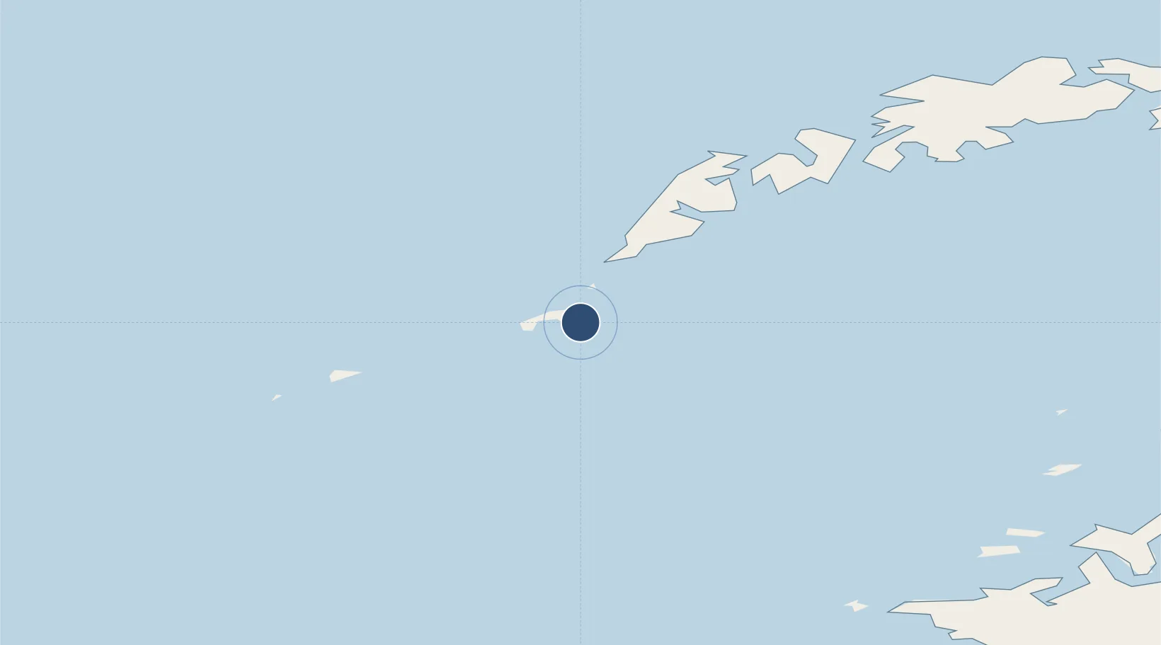
Location
Nearby Logistics Neighbours
Airports
- 1Røst Airport30 km
- 2Leknes Airport67 km
- 3Bodø Airport82 km
- 4Svolvær Airport, Helle104 km
- 5Stokmarknes Airport, Skagen140 km
Cities
- 1Værøy1 km
- 2Å i Lofoten28 km
- 3Moskenes29 km
- 4Røst30 km
- 5Helligvær44 km
Ports
- 1Reine35 km
- 2Ballstad61 km
- 3Stamsund70 km
- 4Bodo81 km
- 5Henningsvaer83 km
Trade Zones
- 1Oulu Port Free Warehouse Area637 km
- 2Turku Free Zone923 km
- 3Stockholm Free Zone961 km
- 4Freeport of Hanko1001 km
- 5Paldiski Free Zone1079 km
DatabookThe Record of Consolidated Knowledge
Norway beyond logistics?