Export Processing Zone · Finland
Port of Hamina-Kotka Active
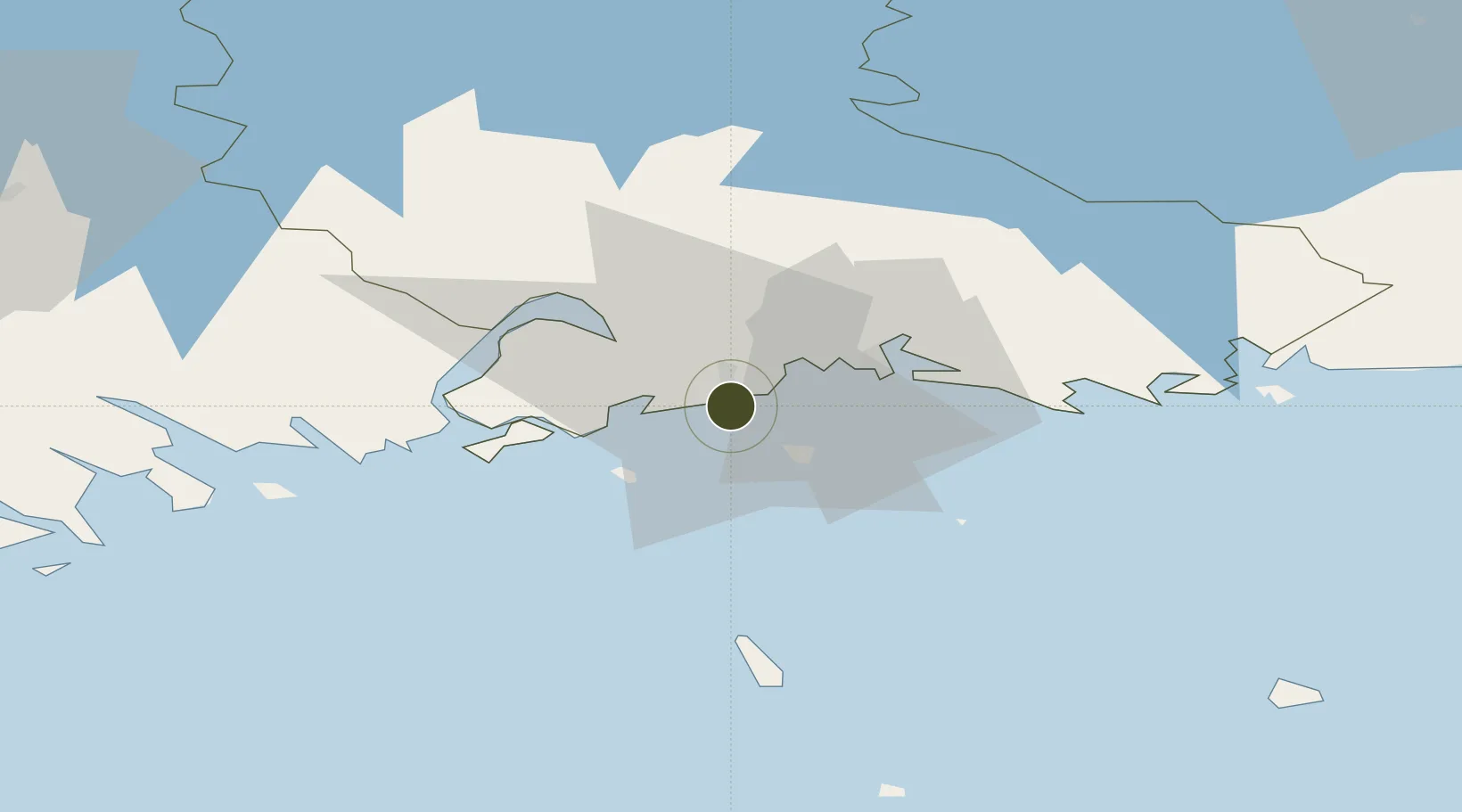
60.4692°, 26.9385°
1,100 ha
Zone area
1.6 km
Nearest port
18.9 km
Nearest airport
Gateway access
Zone profile
Zone type
Export Processing Zone
Region
Kymenlaakso
Status
Active
Management
Public-Private Partnership
Operator
Port of HaminaKotka Ltd.
Legal framework
Council Regulation (EEC) No 2913 /92 of 12 October 1992 Establishing the Community Customs Code (Articles 166-181) Commission Regulation (EEC) No. 2454/93· (Articles 799-814)
Location
Nearby Logistics Neighbours
Airports
- 1Helsinki East-Redstone Aerodrome19 km
- 2Utti Air Base48 km
- 3Lappeenranta Airport92 km
- 4Pribylovo Naval Air Base99 km
- 5Helsinki Vantaa Airport110 km
Cities
- 1Sunila2 km
- 2Kotka4 km
- 3Kymenlaakso5 km
- 4Siltakylä (Broby)11 km
- 5Summa12 km
Trade Zones
- 1Free Zone of Lappeenranta90 km
- 2Port of Sillamäe124 km
- 3Muuga Free Zone169 km
- 4St Petersburg Technology Innovative Special Economic Zone183 km
- 5Paldiski Free Zone203 km
DatabookThe Record of Consolidated Knowledge
Finland beyond logistics?