Medium airport · Norway
Leknes AirportENLK
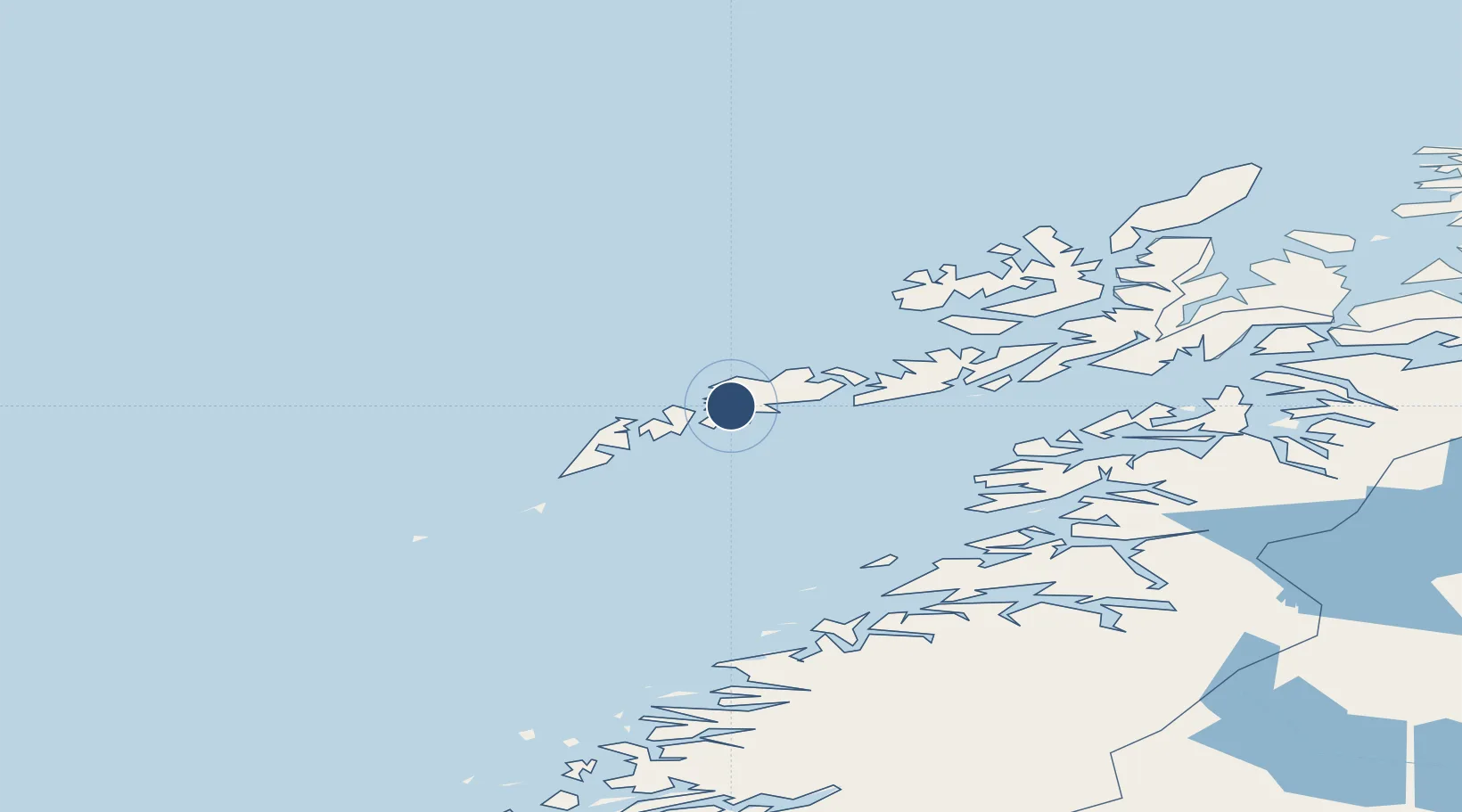
68.1525°, 13.6094°
2,881 ft
Longest runway
1
Runways
78 ft
Elevation
Runway & Layout

Navaids
SAD NDB Sandsund 348 kHz
Runways · 1
| Runway | Dimensions | Surface | True heading | Lit |
|---|---|---|---|---|
| 03/21 | 2,881 × 98ft | Asphalt | 024° | ✓ |
Airport Specifications
IATA code
LKN
ICAO code
ENLK
Airport class
Medium airport
Scheduled service
Yes
Runway surface
Asphalt
Served city
Leknes
Location
Nearby Logistics Neighbours
Airports
- 1Svolvær Airport, Helle45 km
- 2Værøy Heliport67 km
- 3Stokmarknes Airport, Skagen75 km
- 4Røst Airport94 km
- 5Bodø Airport103 km
Ports
- 1Ballstad10 km
- 2Stamsund11 km
- 3Henningsvaer25 km
- 4Reine32 km
- 5Svolvaer41 km
Trade Zones
- 1Oulu Port Free Warehouse Area627 km
- 2Turku Free Zone950 km
- 3Stockholm Free Zone1003 km
- 4Freeport of Hanko1028 km
- 5Port of Hamina-Kotka1064 km
DatabookThe Record of Consolidated Knowledge
Norway beyond logistics?