Transport Functions
Port
Rail
Road
Hub Profile
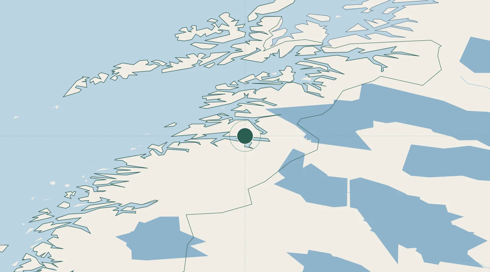
Place type
Provincial seat
Region
Nordland
Population
5,953
Time zone
Europe/Oslo
Elevation
40 m
Location
Nearby Logistics Neighbours
Cities
- 1Finneid1 km
- 2Sørfold14 km
- 3Salten16 km
- 4Rognan17 km
- 5Hammerfall18 km
Ports
- 1Lakselv15 km
- 2Rognan16 km
- 3Kjerringoy40 km
- 4Bodo44 km
- 5Glomfjord78 km
Airports
- 1Bodø Airport44 km
- 2Mo i Rana Airport, Røssvoll109 km
- 3Svolvær Airport, Helle115 km
- 4Værøy Heliport122 km
- 5Leknes Airport125 km
Trade Zones
- 1Oulu Port Free Warehouse Area515 km
- 2Turku Free Zone826 km
- 3Stockholm Free Zone889 km
- 4Freeport of Hanko904 km
- 5Port of Hamina-Kotka940 km
DatabookThe Record of Consolidated Knowledge
Norway beyond logistics?