UN/LOCODE hub · Norway
NOSOF

Sørfold

67.3521°, 15.5827°
1
Transport functions

Transport Functions

Port
UN/LOCODE

Hub Profile

Region
18
GeoNames
Logistics facilities
1
UN/LOCODE

Location

Location of NOSOF
Natural Earth 10m (public domain) · 18 · NOSOF · 67.35, 15.58GoogleOSMYandex

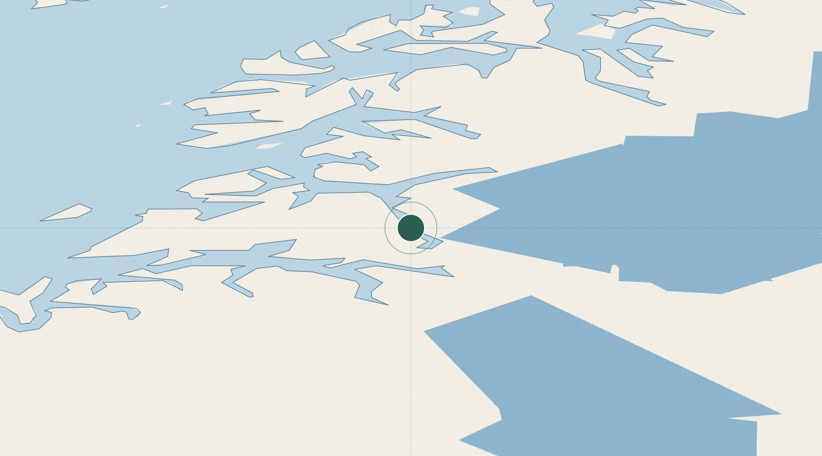
Nearby Logistics Neighbours

Cities
  1. 1Salten2 km
  2. 2Hammerfall6 km
  3. 3Finneid13 km
  4. 4Fauske14 km
  5. 5Rognan29 km
Nearest neighbours — logibook spatial index (haversine) over the source coordinates
Ports
  1. 1Lakselv1 km
  2. 2Fauske14 km
  3. 3Rognan28 km
  4. 4Kjerringoy40 km
  5. 5Bodo53 km
Nearest neighbours — logibook spatial index (haversine) over the source coordinates
Airports
  1. 1Bodø Airport53 km
  2. 2Svolvær Airport, Helle106 km
  3. 3Leknes Airport122 km
  4. 4Mo i Rana Airport, Røssvoll123 km
  5. 5Værøy Heliport126 km
Nearest neighbours — logibook spatial index (haversine) over the source coordinates
Trade Zones
  1. 1Oulu Port Free Warehouse Area513 km
  2. 2Turku Free Zone833 km
  3. 3Stockholm Free Zone899 km
  4. 4Freeport of Hanko910 km
  5. 5Port of Hamina-Kotka943 km
Nearest neighbours — logibook spatial index (haversine) over the source coordinates
DatabookThe Record of Consolidated Knowledge
Norway beyond logistics?
Browse databook

All Sources

LocationsUN/LOCODE
UN/LOCODE — free
Portsthe NGA World Port Index
Public domain (US gov)
AirportsOurAirports
Public domain
Trade Zonesthe World Bank SEZ database
CC BY 4.0
Trade ZonesOpen Zone Map
CC BY
← Norway locations