Medium airport · Norway
Mo i Rana Airport, RøssvollENRA
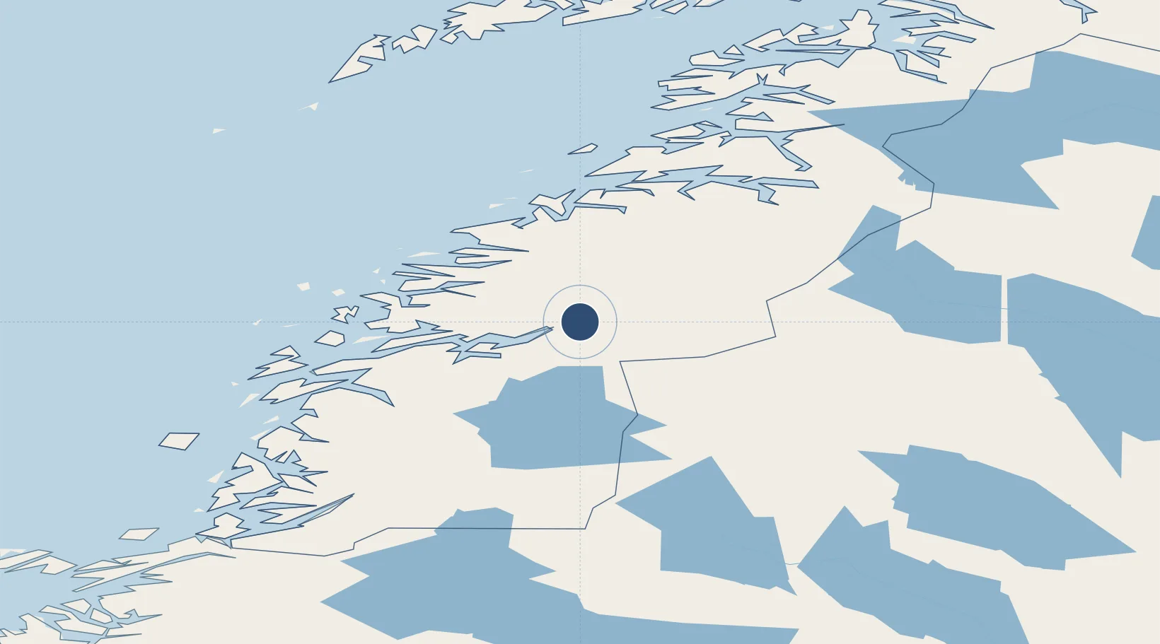
66.3639°, 14.3014°
2,759 ft
Longest runway
1
Runways
229 ft
Elevation
Runway & Layout

Navaids
STM NDB Strommen 345 kHz
Runways · 1
| Runway | Dimensions | Surface | True heading | Lit |
|---|---|---|---|---|
| 13/31 | 2,759 × 98ft | Asphalt | 136° | ✓ |
Airport Specifications
IATA code
MQN
ICAO code
ENRA
Airport class
Medium airport
Scheduled service
Yes
Runway surface
Asphalt
Served city
Mo i Rana
Location
Nearby Logistics Neighbours
Airports
- 1Hemavan Airport71 km
- 2Mosjøen Airport, Kjærstad81 km
- 3Sandnessjøen Airport, Stokka94 km
- 4Bodø Airport101 km
- 5Brønnøysund Airport, Brønnøy138 km
Cities
- 1Mo i Rana11 km
- 2Bjerka30 km
- 3Finneidfjord31 km
- 4Hemnesberget33 km
- 5Seljeli41 km
Ports
- 1Mo I Rana9 km
- 2Hemnesberget34 km
- 3Glomfjord51 km
- 4Nesna61 km
- 5Ornes62 km
Trade Zones
- 1Oulu Port Free Warehouse Area530 km
- 2Turku Free Zone766 km
- 3Stockholm Free Zone803 km
- 4Freeport of Hanko844 km
- 5Port of Hamina-Kotka905 km
DatabookThe Record of Consolidated Knowledge
Norway beyond logistics?