Transport Functions
Port
Hub Profile
Region
18
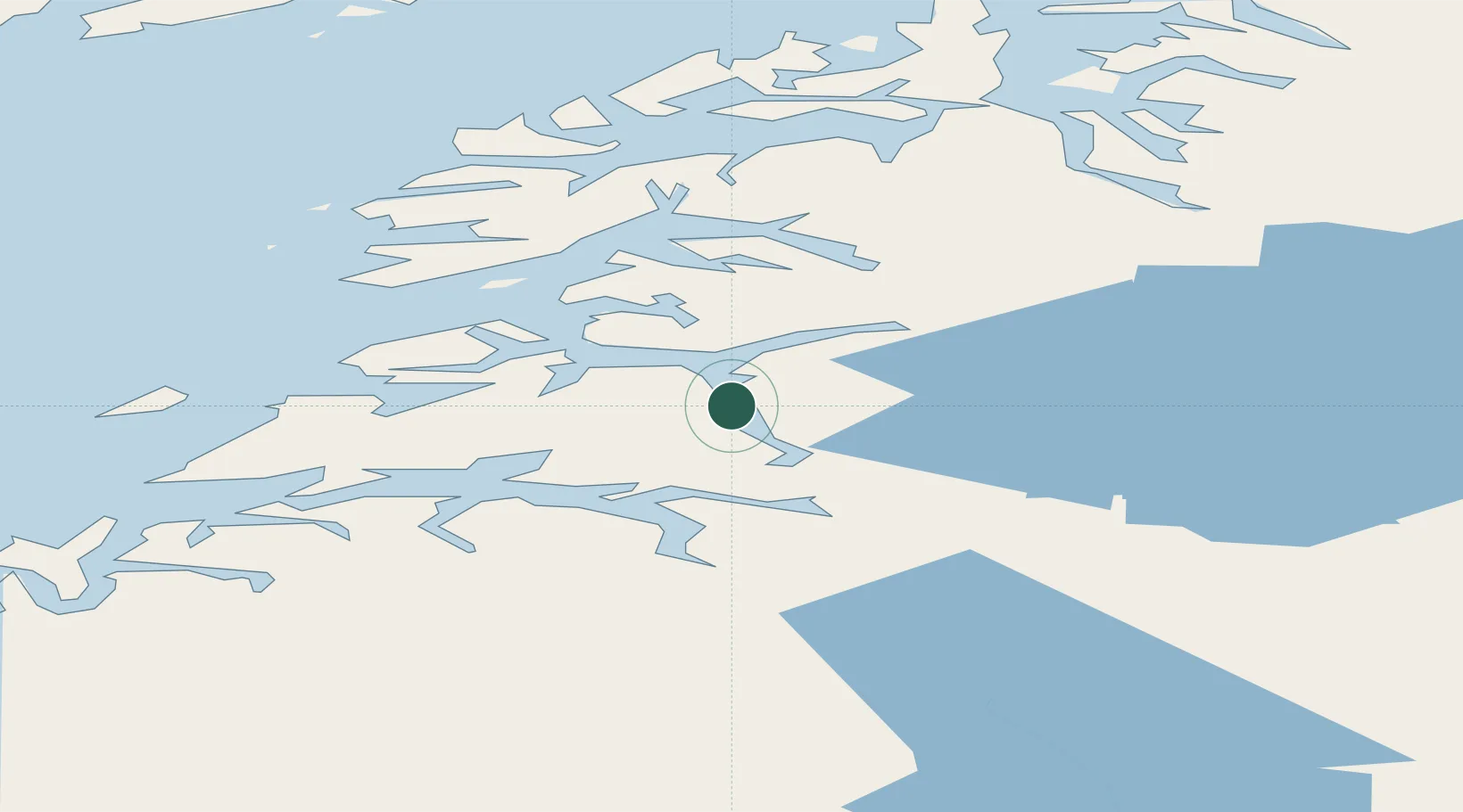
Location
Nearby Logistics Neighbours
Ports
- 1Lakselv5 km
- 2Fauske18 km
- 3Rognan33 km
- 4Kjerringoy36 km
- 5Bodo52 km
Airports
- 1Bodø Airport52 km
- 2Svolvær Airport, Helle101 km
- 3Leknes Airport116 km
- 4Værøy Heliport123 km
- 5Mo i Rana Airport, Røssvoll127 km
Trade Zones
- 1Oulu Port Free Warehouse Area517 km
- 2Turku Free Zone838 km
- 3Stockholm Free Zone904 km
- 4Freeport of Hanko915 km
- 5Port of Hamina-Kotka948 km
DatabookThe Record of Consolidated Knowledge
Norway beyond logistics?