Channel & Berth Profile
Pilotage, Tugs & Services
Pilotage compulsoryNO
Pilotage availableYES
Pilotage advisableYES
Local assistanceYES
Tug assistanceNO
Salvage tugsNO
Potable waterYES
Diesel bunkersNO
MedicalNO
Garbage disposalYES
Facilities & Capabilities
ContainerYES
Ro-RoNO
Liquid bulkYES
Dry bulkYES
Oil terminal—
Break bulkYES
Dry dock—
Repairs—
BunkeringYES
Rail link—
Dangerous cargo—
ISPS security—
Harbour Specifications
Harbour size
Very Small
Harbour type
Coastal (Natural)
Shelter
Good
Water body
Norwegian Sea; North Atlantic Ocean
Tidal range
3 m
Pilotage
No
Liner Connectivity
19.9
PLSCI
Port Liner Shipping Connectivity Index for Glomfjord, as published by UNCTAD for the latest available quarter. Higher values indicate stronger scheduled liner-shipping integration.
Shown relative to the highest per-port PLSCI in the dataset (1,657.9).
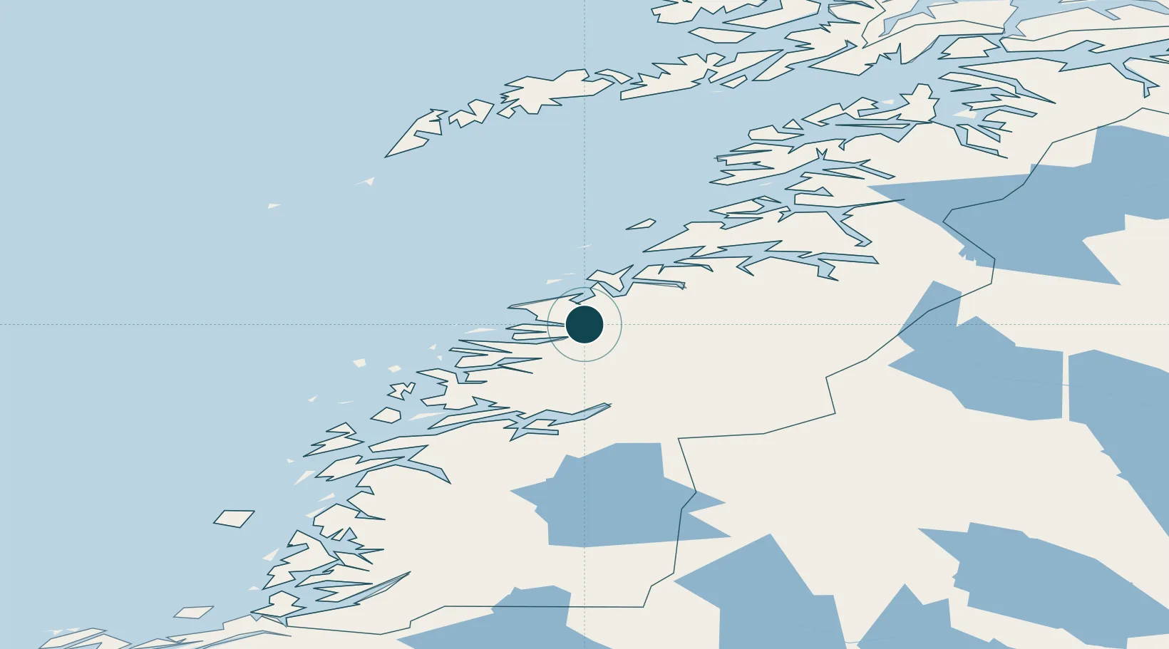
Location
Nearby Logistics Neighbours
Ports
- 1Ornes14 km
- 2Mo I Rana54 km
- 3Bodo56 km
- 4Hemnesberget66 km
- 5Rognan70 km
Cities
- 1Kilvik9 km
- 2Ørnes14 km
- 3Forøy22 km
- 4Halsa Meløy22 km
- 5Ågskardet24 km
Airports
- 1Mo i Rana Airport, Røssvoll51 km
- 2Bodø Airport54 km
- 3Værøy Heliport109 km
- 4Røst Airport114 km
- 5Sandnessjøen Airport, Stokka116 km
Trade Zones
- 1Oulu Port Free Warehouse Area556 km
- 2Turku Free Zone815 km
- 3Stockholm Free Zone855 km
- 4Freeport of Hanko892 km
- 5Paldiski Free Zone972 km
DatabookThe Record of Consolidated Knowledge
Norway beyond logistics?