Channel & Berth Profile
Pilotage, Tugs & Services
MedicalYES
Facilities & Capabilities
Container—
Ro-Ro—
Liquid bulk—
Dry bulk—
Oil terminal—
Break bulk—
Dry dock—
Repairs—
Bunkering—
Rail linkYES
Dangerous cargo—
ISPS security—
Harbour Specifications
Harbour size
Very Small
Harbour type
Coastal (Natural)
Shelter
Excellent
Water body
Norwegian Sea; North Atlantic Ocean
Overhead limit
No
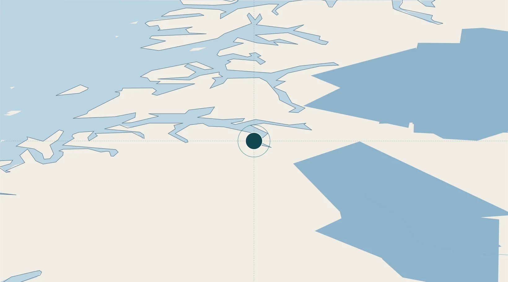
Location
Nearby Logistics Neighbours
Ports
- 1Fauske16 km
- 2Lakselv29 km
- 3Bodo49 km
- 4Kjerringoy54 km
- 5Glomfjord70 km
Airports
- 1Bodø Airport48 km
- 2Mo i Rana Airport, Røssvoll96 km
- 3Værøy Heliport129 km
- 4Svolvær Airport, Helle130 km
- 5Leknes Airport139 km
Trade Zones
- 1Oulu Port Free Warehouse Area509 km
- 2Turku Free Zone812 km
- 3Stockholm Free Zone873 km
- 4Freeport of Hanko889 km
- 5Port of Hamina-Kotka928 km
DatabookThe Record of Consolidated Knowledge
Norway beyond logistics?