Channel & Berth Profile
Pilotage, Tugs & Services
Pilotage compulsoryYES
Pilotage availableYES
Pilotage advisableYES
Tug assistanceYES
MedicalYES
Facilities & Capabilities
Container—
Ro-Ro—
Liquid bulk—
Dry bulk—
Oil terminal—
Break bulk—
Dry dockNO
RepairsNO
BunkeringNO
Rail linkYES
Dangerous cargo—
ISPS security—
Harbour Specifications
Harbour size
Very Small
Harbour type
Coastal (Natural)
Shelter
Good
Water body
Sea of Japan; North Pacific Ocean
Tidal range
2 m
Pilotage
Yes
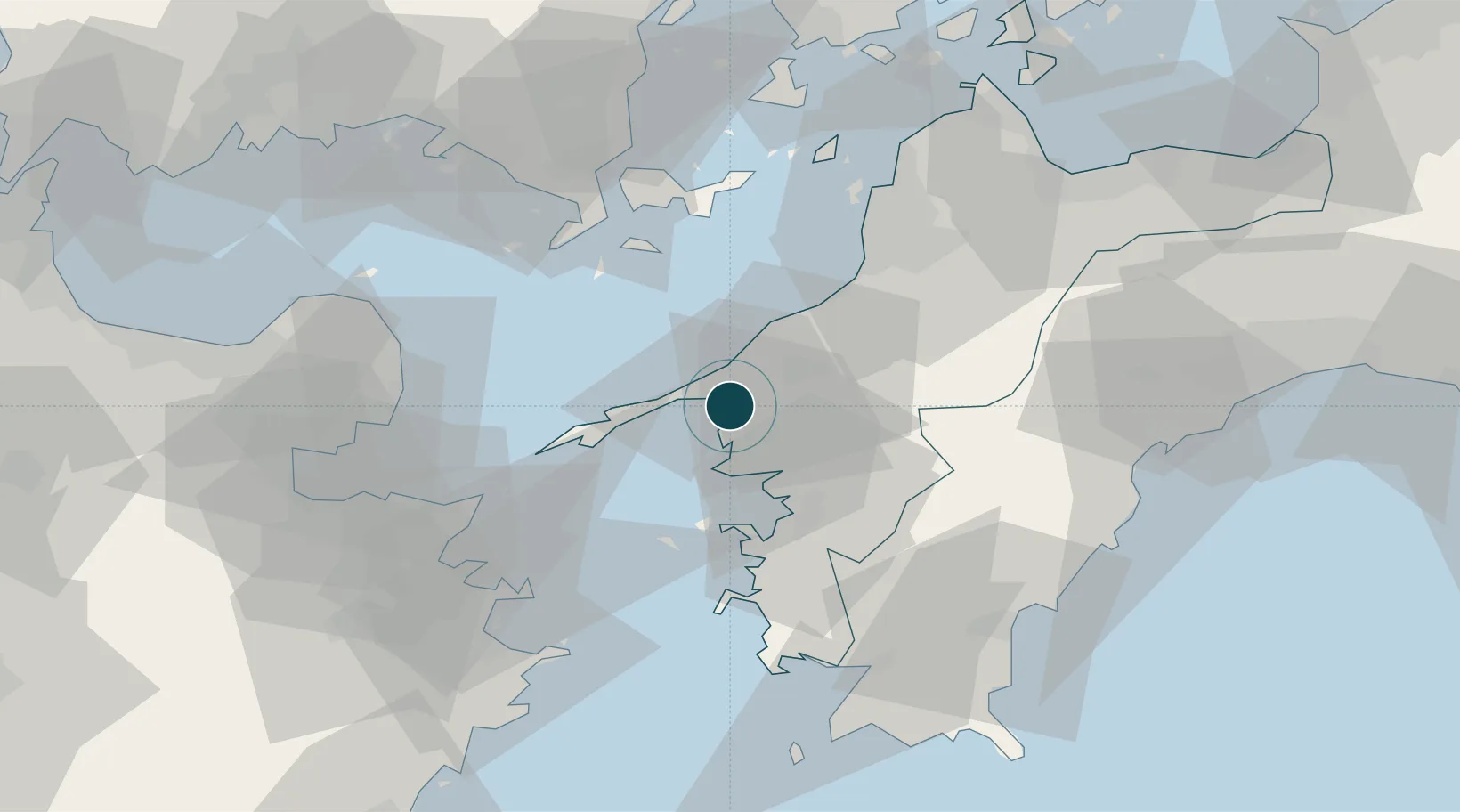
Location
Nearby Logistics Neighbours
Ports
- 1Uwajima Ko30 km
- 2Matsuyama52 km
- 3Saganoseki Ko56 km
- 4Yanai62 km
- 5Tsukumi Ko65 km
Cities
- 1Matsuyama53 km
- 2Toon, Ehime56 km
- 3Sukumowan66 km
- 4Tsuzu Yamaguchi70 km
- 5Oita71 km
Airports
- 1Matsuyama Airport49 km
- 2Oita Airport63 km
- 3Iwakuni Kintaikyo Airport79 km
- 4JASDF Hofu Airfield103 km
- 5Kochi Ryoma Airport117 km
Trade Zones
- 1Yamaguchi Next-Generation Agricultural Production Structure Establishment Special Zone72 km
- 2Saijō Agricultural Innovation City General Special Zone88 km
- 3Hiroshima Prefecture Imabari City National Strategic Special Zone104 km
- 4Onomichi Regional Medical Cooperation Promotion Special Zone121 km
- 5Aso Grassland Special Zone133 km
DatabookThe Record of Consolidated Knowledge
Japan beyond logistics?