Large airport · Japan
Matsuyama AirportRJOM
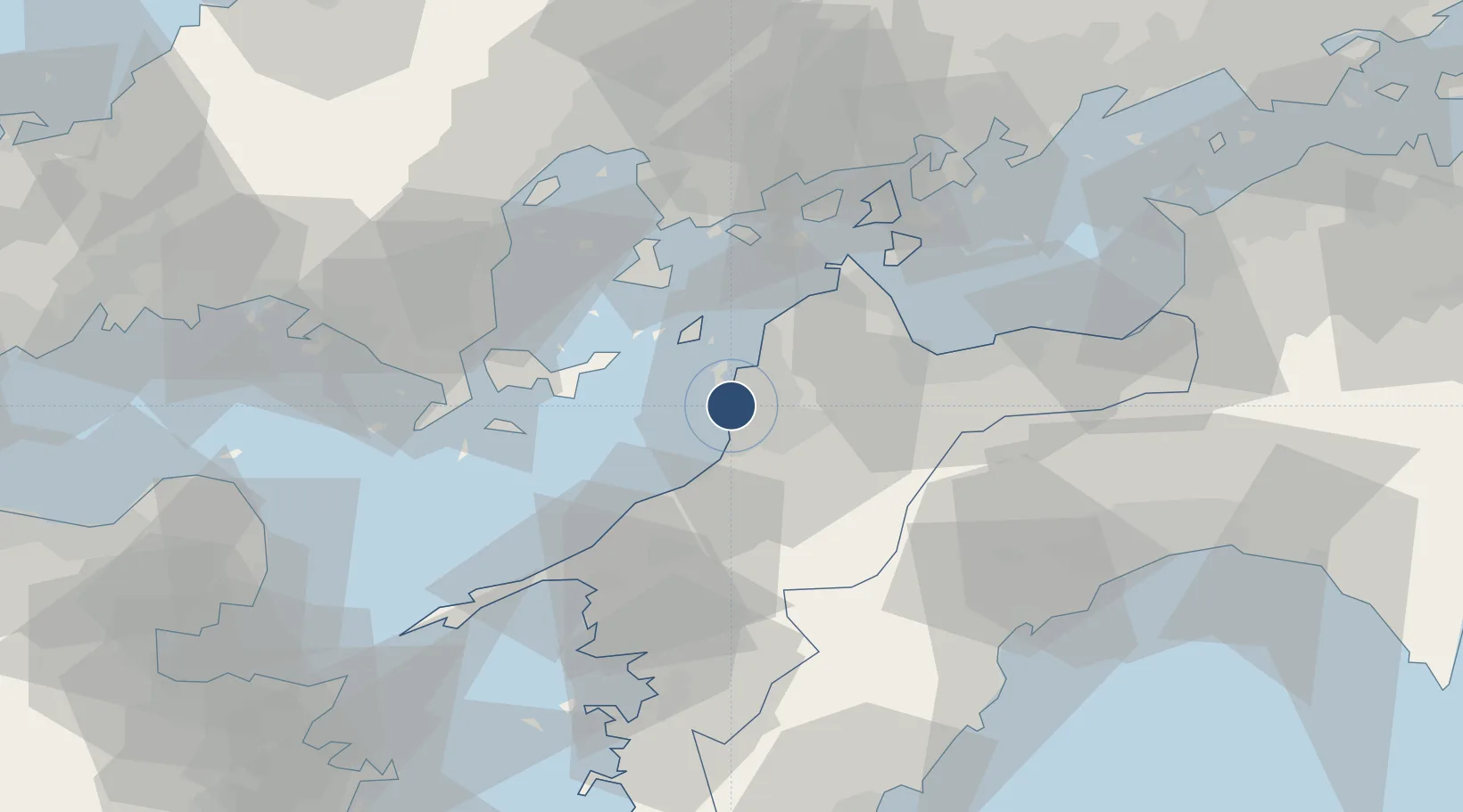
33.8269°, 132.7001°
8,200 ft
Longest runway
1
Runways
25 ft
Elevation
Runway & Layout

Radio Frequencies
ATIS
126.65 MHz
TWR
118.35 MHz
APP
128 MHz
IWAKUNI APP
Navaids
MPE VOR-DME Matsuyama 116.30 MHz
Runways · 1
| Runway | Dimensions | Surface | True heading | Lit |
|---|---|---|---|---|
| 14/32 | 8,200 × 150ft | Asphalt | 130° | ✓ |
Airport Specifications
IATA code
MYJ
ICAO code
RJOM
Airport class
Large airport
Scheduled service
Yes
Runway surface
Asphalt
Served city
Matsuyama
Location
Nearby Logistics Neighbours
Airports
- 1Iwakuni Kintaikyo Airport55 km
- 2Hiroshima Airport71 km
- 3Kochi Ryoma Airport95 km
- 4Oita Airport97 km
- 5JASDF Hofu Airfield109 km
Cities
- 1Matsuyama4 km
- 2Toon, Ehime16 km
- 3Toyo37 km
- 4Imabari39 km
- 5Yoshiumi46 km
Ports
- 1Matsuyama3 km
- 2Kikuma Ko26 km
- 3Namikata37 km
- 4Imabari Ko40 km
- 5Mitsukojima43 km
Trade Zones
- 1Saijō Agricultural Innovation City General Special Zone45 km
- 2Hiroshima Prefecture Imabari City National Strategic Special Zone66 km
- 3Yamaguchi Next-Generation Agricultural Production Structure Establishment Special Zone72 km
- 4Onomichi Regional Medical Cooperation Promotion Special Zone72 km
- 5Hiroshima Environmental Tourism Model Urban Development Promotion Special Zone89 km
DatabookThe Record of Consolidated Knowledge
Japan beyond logistics?