Specialized Zone · Japan
Onomichi Regional Medical Cooperation Promotion Special Zone Inactive
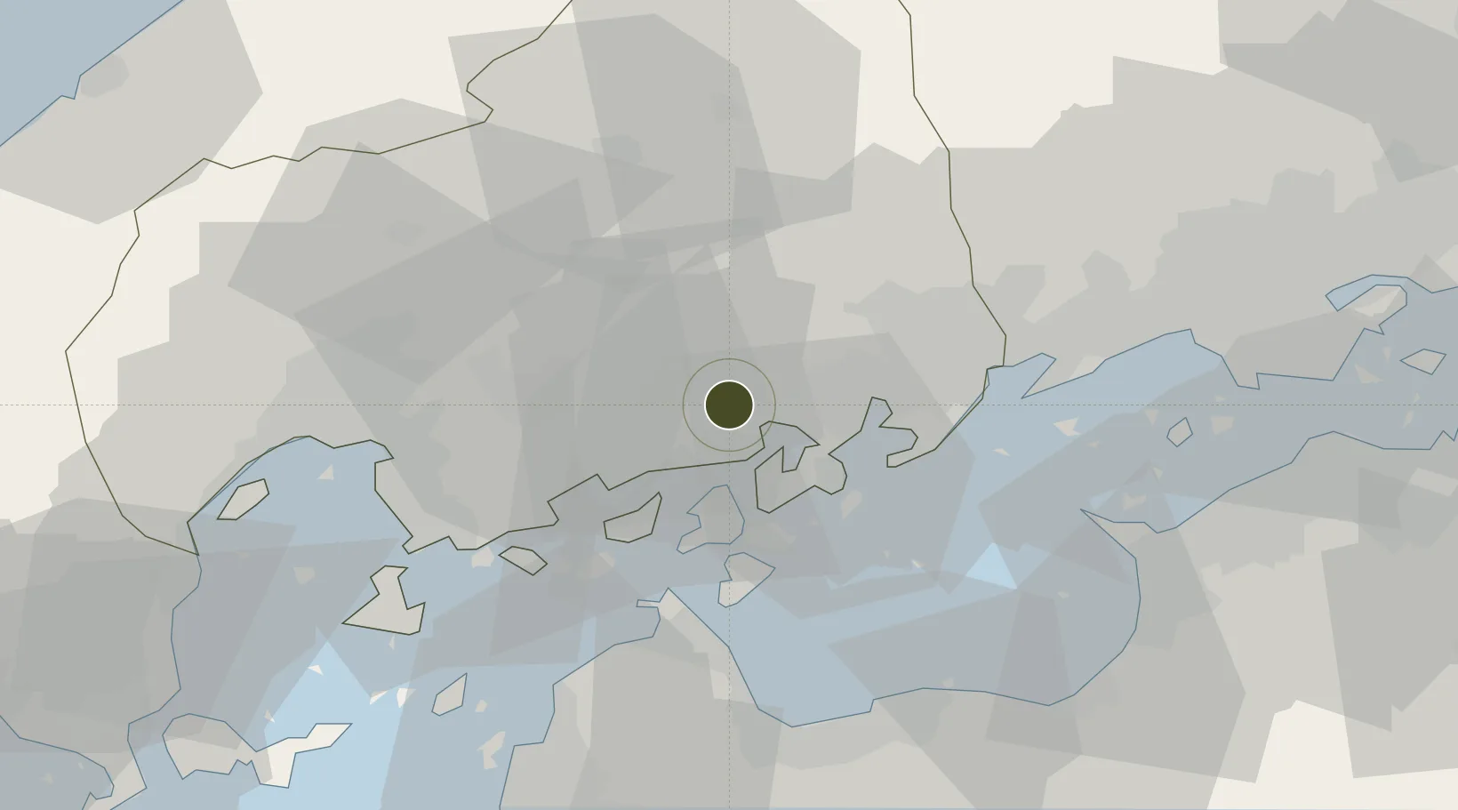
34.4144°, 133.0333°
75,588 ha
Zone area
12.7 km
Nearest port
10.8 km
Nearest airport
Gateway access
Zone profile
Zone type
Specialized Zone
Specialization
Medical
Region
Hiroshima
Status
Inactive
Management
Public
Operator
NPO Corporation "Tenkake"
Legal framework
Onomichi Regional Medical Cooperation Promotion Special Zone Regional Revitalization Policy
Location
Nearby Logistics Neighbours
Ports
- 1Onomichi-Itozaki13 km
- 2Habu Ko20 km
- 3Namikata35 km
- 4Fukuyama37 km
- 5Imabari Ko39 km
Airports
- 1Hiroshima Airport11 km
- 2Matsuyama Airport72 km
- 3Iwakuni Kintaikyo Airport78 km
- 4Okayama Momotaro Airport84 km
- 5Takamatsu Airport93 km
Cities
- 1Yoshiumi31 km
- 2Fukuyama, Hiroshima37 km
- 3Imabari41 km
- 4Aki-gun/Hiroshima47 km
- 5Hiroshima50 km
Trade Zones
- 1Hiroshima Environmental Tourism Model Urban Development Promotion Special Zone25 km
- 2Hiroshima Prefecture Imabari City National Strategic Special Zone53 km
- 3Saijō Agricultural Innovation City General Special Zone55 km
- 4Hyper & Green Innovation Mizushima Complex General Special Zone63 km
- 5Kagawa Medical Welfare General Special Zone70 km
DatabookThe Record of Consolidated Knowledge
Japan beyond logistics?