Medium airport · Japan
Oita AirportRJFO
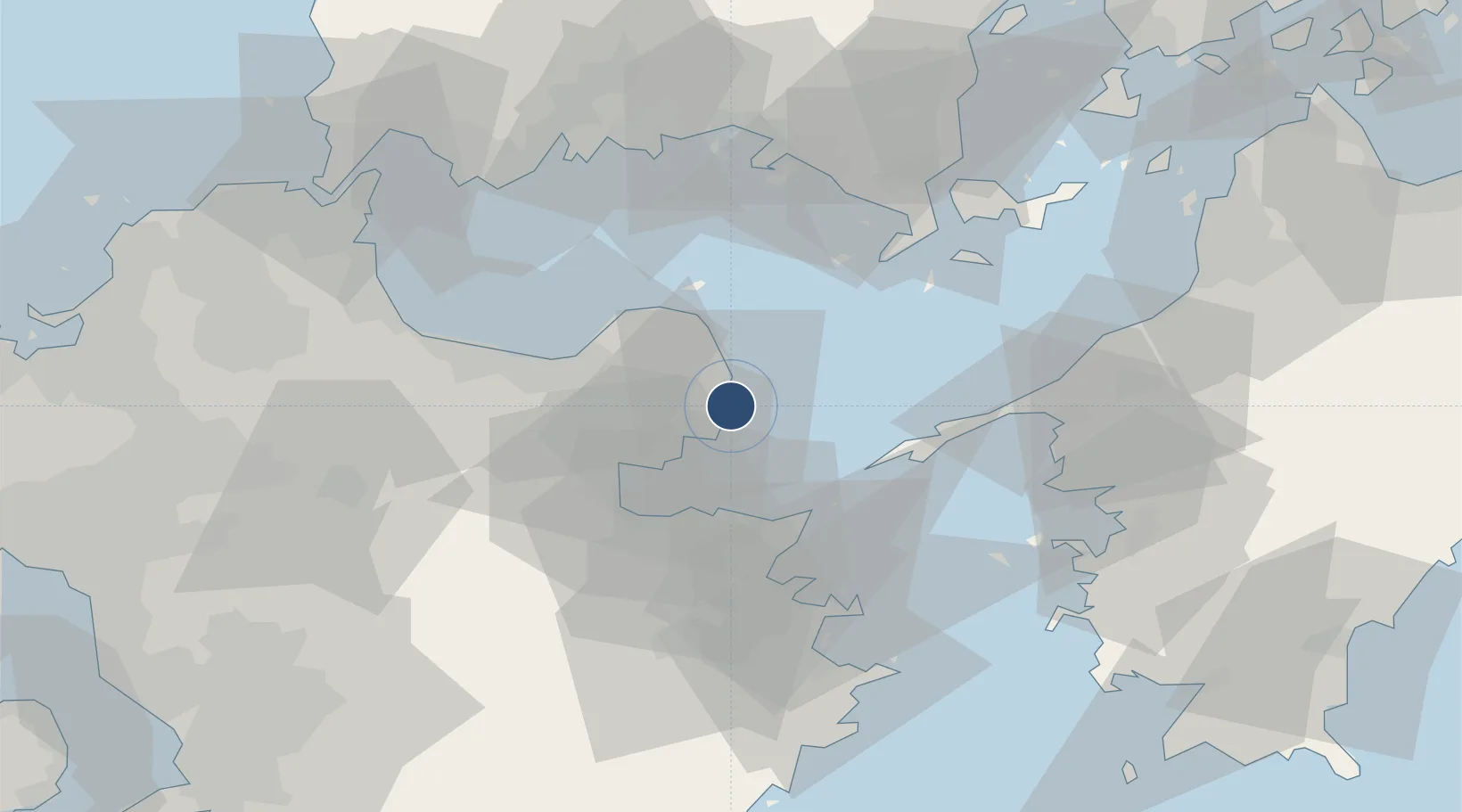
33.4794°, 131.7370°
9,840 ft
Longest runway
1
Runways
19 ft
Elevation
Runway & Layout

Radio Frequencies
ATIS
127.8 MHz
TWR
118.8 MHz
GND
121.6 MHz
APP
120.6 MHz
DEP
119.05 MHz
Navaids
TAE VOR-DME Oita 112.10 MHz
TFE VOR-DME Musashi 117.70 MHz
Runways · 1
| Runway | Dimensions | Surface | True heading | Lit |
|---|---|---|---|---|
| 01/19 | 9,840 × 150ft | Asphalt | 000° | ✓ |
Airport Specifications
IATA code
OIT
ICAO code
RJFO
Airport class
Medium airport
Scheduled service
Yes
Runway surface
Asphalt
Served city
Oita
Location
Nearby Logistics Neighbours
Airports
- 1JASDF Hofu Airfield64 km
- 2Yamaguchi Ube Airport66 km
- 3JASDF Tsuiki Air Base69 km
- 4Kitakyushu Airport77 km
- 5Iwakuni Kintaikyo Airport88 km
Cities
- 1Kitsuki13 km
- 2Oita26 km
- 3Bungotakada28 km
- 4Usa38 km
- 5Tokuyamakudamatsu58 km
Ports
- 1Oita Ko26 km
- 2Beppu27 km
- 3Saganoseki Ko28 km
- 4Tsukumi Ko46 km
- 5Hikari55 km
Trade Zones
- 1Yamaguchi Next-Generation Agricultural Production Structure Establishment Special Zone57 km
- 2Aso Grassland Special Zone82 km
- 3Hiroshima Prefecture Imabari City National Strategic Special Zone121 km
- 4Green Asia International Strategic Comprehensive Special Zone123 km
- 5Kyushu Asia Tourism Island Comprehensive Special Zone124 km
DatabookThe Record of Consolidated Knowledge
Japan beyond logistics?