UN/LOCODE hub · Japan
JPMYJ
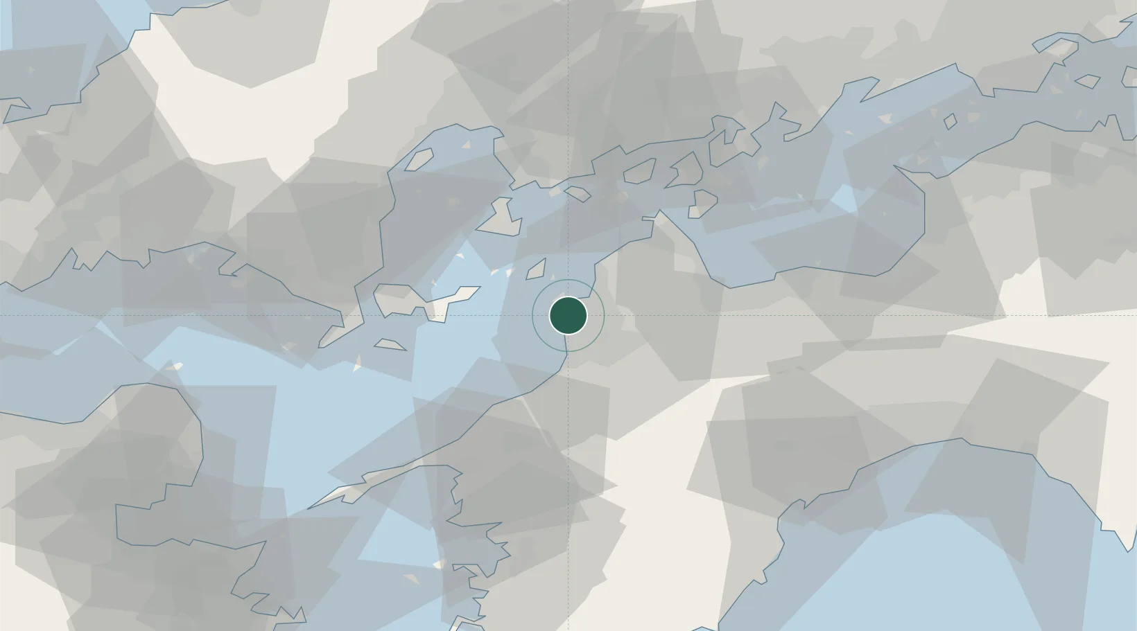
Matsuyama
33.8614°, 132.7005°
511,192
Population
2
Transport functions
1
Container terminals
Transport Functions
Port
Airport
Hub Profile
Place type
Regional capital
Region
Ehime
Population
511,192
Time zone
Asia/Tokyo
Elevation
28 m
Logistics facilities
5
Container terminals
1
Location
Nearby Logistics Neighbours
Cities
- 1Toon, Ehime18 km
- 2Toyo36 km
- 3Imabari37 km
- 4Yoshiumi43 km
- 5Tsuzu Yamaguchi51 km
Ports
- 1Kikuma Ko23 km
- 2Namikata34 km
- 3Imabari Ko37 km
- 4Mitsukojima40 km
- 5Kanokawa Ko44 km
Airports
- 1Matsuyama Airport4 km
- 2Iwakuni Kintaikyo Airport52 km
- 3Hiroshima Airport67 km
- 4Kochi Ryoma Airport96 km
- 5Oita Airport99 km
Trade Zones
- 1Saijō Agricultural Innovation City General Special Zone44 km
- 2Hiroshima Prefecture Imabari City National Strategic Special Zone62 km
- 3Onomichi Regional Medical Cooperation Promotion Special Zone69 km
- 4Yamaguchi Next-Generation Agricultural Production Structure Establishment Special Zone71 km
- 5Hiroshima Environmental Tourism Model Urban Development Promotion Special Zone86 km
DatabookThe Record of Consolidated Knowledge
Japan beyond logistics?