Large airport · Japan
Kochi Ryoma AirportRJOK
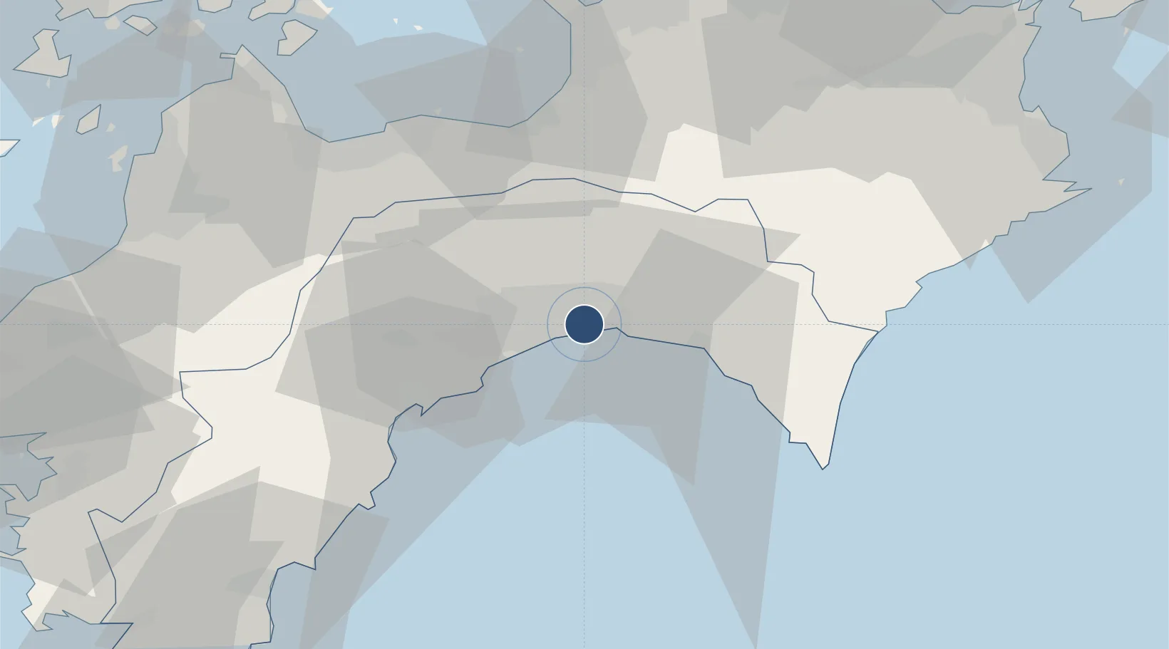
33.5452°, 133.6702°
8,203 ft
Longest runway
1
Runways
42 ft
Elevation
Runway & Layout

Radio Frequencies
ATIS
126.45 MHz
TWR
118.75 MHz
APP
125 MHz
DEP
124.8 MHz
Navaids
KR NDB Kochi 399 kHz
KRE VOR-DME Kochi 113.70 MHz
Runways · 1
| Runway | Dimensions | Surface | True heading | Lit |
|---|---|---|---|---|
| 14/32 | 8,203 × 148ft | Asphalt | 131° | ✓ |
Airport Specifications
IATA code
KCZ
ICAO code
RJOK
Airport class
Large airport
Scheduled service
Yes
Runway surface
Asphalt
Served city
Nankoku
Location
Nearby Logistics Neighbours
Airports
- 1Takamatsu Airport81 km
- 2Matsuyama Airport95 km
- 3Tokushima Awaodori Airport / JMSDF Tokushima Air Base109 km
- 4Hiroshima Airport121 km
- 5Okayama Momotaro Airport136 km
Cities
- 1Kochi9 km
- 2Aki, Kochi22 km
- 3Ino22 km
- 4Tosa, Kochi23 km
- 5Shikokuchuo50 km
Ports
- 1Kochi Ko11 km
- 2Susaki Ko39 km
- 3Mishima-Kawanoe Ko52 km
- 4Niihama60 km
- 5Takuma75 km
Trade Zones
DatabookThe Record of Consolidated Knowledge
Japan beyond logistics?