Channel & Berth Profile
Pilotage, Tugs & Services
Potable waterYES
Facilities & Capabilities
Container—
Ro-Ro—
Liquid bulk—
Dry bulk—
Oil terminal—
Break bulk—
Dry dock—
RepairsNO
BunkeringYES
Rail link—
Dangerous cargo—
ISPS security—
Harbour Specifications
Harbour size
Very Small
Harbour type
Coastal (Natural)
Shelter
Poor
Water body
Sea of Japan; North Pacific Ocean
Tidal range
2 m
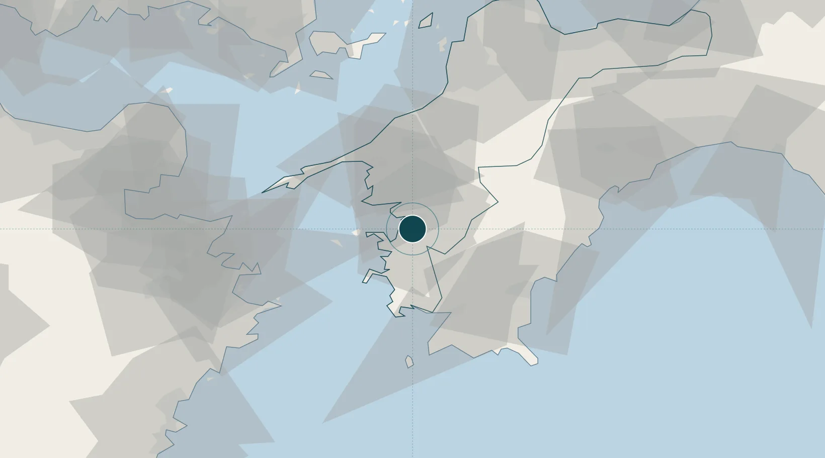
Location
Nearby Logistics Neighbours
Ports
- 1Yawatahama30 km
- 2Saganoseki Ko65 km
- 3Saiki Ko65 km
- 4Tsukumi Ko67 km
- 5Susaki Ko71 km
Cities
- 1Sukumowan36 km
- 2Saga52 km
- 3Toon, Ehime69 km
- 4Matsuyama73 km
- 5Oita82 km
Airports
- 1Matsuyama Airport69 km
- 2Oita Airport82 km
- 3Iwakuni Kintaikyo Airport108 km
- 4Kochi Ryoma Airport109 km
- 5JASDF Hofu Airfield131 km
Trade Zones
- 1Saijō Agricultural Innovation City General Special Zone97 km
- 2Yamaguchi Next-Generation Agricultural Production Structure Establishment Special Zone101 km
- 3Hiroshima Prefecture Imabari City National Strategic Special Zone130 km
- 4Aso Grassland Special Zone138 km
- 5Onomichi Regional Medical Cooperation Promotion Special Zone140 km
DatabookThe Record of Consolidated Knowledge
Japan beyond logistics?