Specialized Zone · Japan
Yamaguchi Next-Generation Agricultural Production Structure Establishment Special Zone Inactive
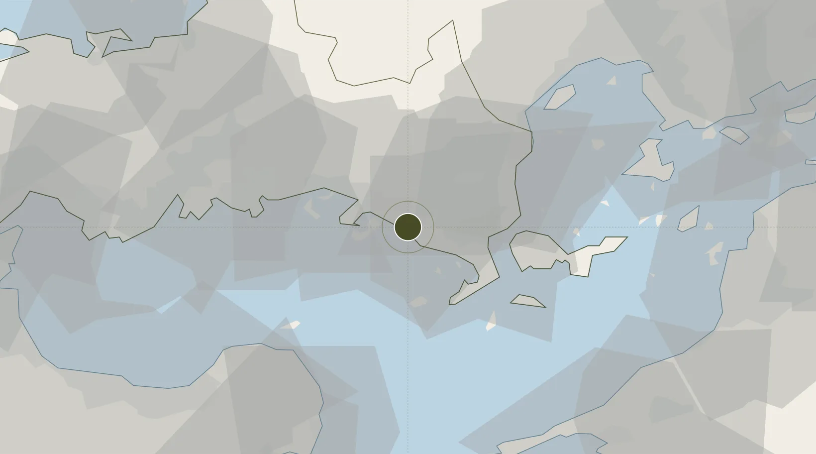
33.9618°, 131.9424°
28,219 ha
Zone area
1.6 km
Nearest port
34.8 km
Nearest airport
Gateway access
Zone profile
Zone type
Specialized Zone
Specialization
Agriculture
Region
Yamaguchi
Status
Inactive
Management
Public
Operator
Yamaguchi Prefectural Government
Legal framework
Comprehensive Special Zone Law (Law No. 81 of 2011)
Location
Nearby Logistics Neighbours
Airports
- 1Iwakuni Kintaikyo Airport35 km
- 2JASDF Hofu Airfield37 km
- 3Oita Airport57 km
- 4Yamaguchi Ube Airport61 km
- 5Matsuyama Airport72 km
Cities
- 1Tokuyama17 km
- 2Tokuyamakudamatsu17 km
- 3Tsuzu Yamaguchi26 km
- 4Mitajiri34 km
- 5Hofu36 km
Trade Zones
- 1Hiroshima Prefecture Imabari City National Strategic Special Zone67 km
- 2Morisato Kairenkan Takatsu River Basin Hometown Concept Special Zone82 km
- 3Onomichi Regional Medical Cooperation Promotion Special Zone112 km
- 4Saijō Agricultural Innovation City General Special Zone113 km
- 5Aso Grassland Special Zone136 km
DatabookThe Record of Consolidated Knowledge
Japan beyond logistics?