Channel & Berth Profile
Pilotage, Tugs & Services
Pilotage compulsoryNO
Pilotage availableYES
Tug assistanceYES
Potable waterYES
MedicalYES
Facilities & Capabilities
Container—
Ro-Ro—
Liquid bulk—
Dry bulk—
Oil terminal—
Break bulk—
Dry dock—
RepairsNO
BunkeringYES
Rail link—
Dangerous cargo—
ISPS security—
Harbour Specifications
Harbour size
Small
Harbour type
Coastal (Breakwater)
Shelter
Fair
Water body
Korea Strait; North Pacific Ocean
Tidal range
2 m
Pilotage
No
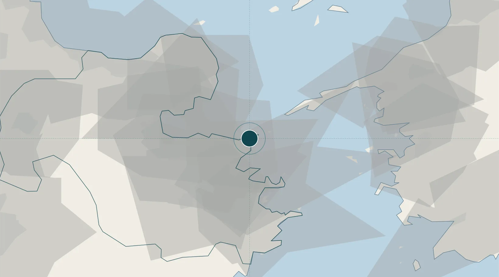
Location
Nearby Logistics Neighbours
Ports
- 1Tsukumi Ko19 km
- 2Oita Ko19 km
- 3Saiki Ko32 km
- 4Beppu33 km
- 5Yawatahama56 km
Cities
- 1Oita17 km
- 2Kitsuki30 km
- 3Bungotakada51 km
- 4Usa58 km
- 5Aso78 km
Airports
- 1Oita Airport28 km
- 2JASDF Tsuiki Air Base91 km
- 3JASDF Hofu Airfield92 km
- 4Yamaguchi Ube Airport93 km
- 5Matsuyama Airport100 km
Trade Zones
- 1Aso Grassland Special Zone77 km
- 2Yamaguchi Next-Generation Agricultural Production Structure Establishment Special Zone80 km
- 3Hiroshima Prefecture Imabari City National Strategic Special Zone137 km
- 4Green Asia International Strategic Comprehensive Special Zone140 km
- 5Kyushu Asia Tourism Island Comprehensive Special Zone141 km
DatabookThe Record of Consolidated Knowledge
Japan beyond logistics?