Specialized Zone · Japan
Saijō Agricultural Innovation City General Special Zone Inactive
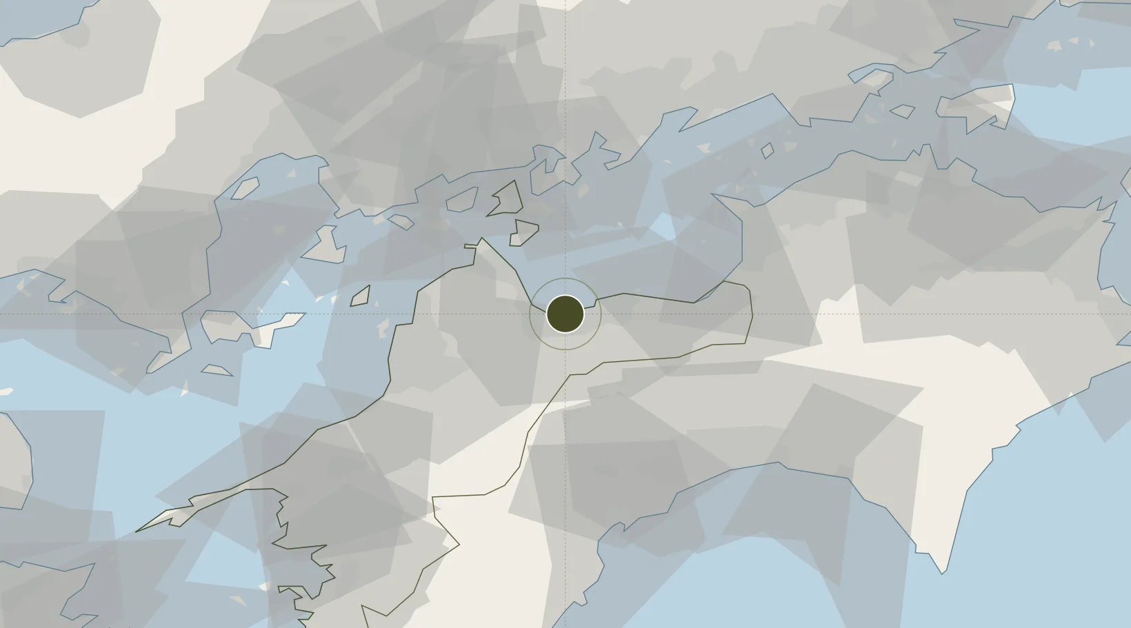
33.9356°, 133.1661°
50,907 ha
Zone area
12.0 km
Nearest port
44.7 km
Nearest airport
Gateway access
Zone profile
Zone type
Specialized Zone
Specialization
Agriculture
Region
Ehime
Status
Inactive
Management
Public-Private Partnership
Operator
Sumitomo Chemical, City of Saijo, JA Saijo
Legal framework
Saijo Area Revitalization General Special Area Designation
Location
Nearby Logistics Neighbours
Ports
- 1Niihama12 km
- 2Imabari Ko20 km
- 3Namikata32 km
- 4Kikuma Ko33 km
- 5Mishima-Kawanoe Ko36 km
Airports
- 1Matsuyama Airport45 km
- 2Hiroshima Airport60 km
- 3Kochi Ryoma Airport64 km
- 4Takamatsu Airport84 km
- 5Iwakuni Kintaikyo Airport88 km
Cities
- 1Toyo8 km
- 2Niihama14 km
- 3Imabari18 km
- 4Yoshiumi25 km
- 5Toon, Ehime32 km
Trade Zones
- 1Onomichi Regional Medical Cooperation Promotion Special Zone55 km
- 2Hiroshima Environmental Tourism Model Urban Development Promotion Special Zone59 km
- 3Kagawa Medical Welfare General Special Zone70 km
- 4Hyper & Green Innovation Mizushima Complex General Special Zone82 km
- 5Hiroshima Prefecture Imabari City National Strategic Special Zone82 km
DatabookThe Record of Consolidated Knowledge
Japan beyond logistics?