UN/LOCODE hub · Japan
JPOIT
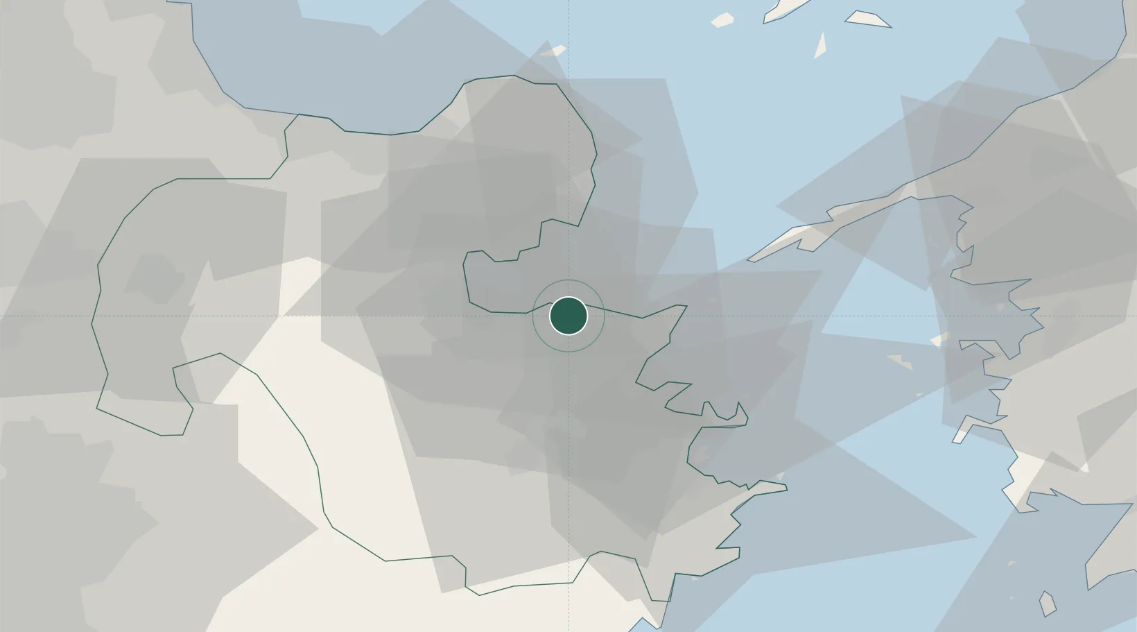
Oita
33.2483°, 131.6888°
477,715
Population
2
Transport functions
1
Container terminals
Transport Functions
Port
Airport
Hub Profile
Place type
Regional capital
Region
Oita
Population
477,715
Time zone
Asia/Tokyo
Elevation
9 m
Logistics facilities
4
Container terminals
1
Location
Nearby Logistics Neighbours
Cities
- 1Kitsuki20 km
- 2Bungotakada40 km
- 3Usa45 km
- 4Aso64 km
- 5Buzen66 km
Ports
- 1Saganoseki Ko17 km
- 2Beppu18 km
- 3Tsukumi Ko25 km
- 4Saiki Ko39 km
- 5Yawatahama71 km
Airports
- 1Oita Airport26 km
- 2JASDF Tsuiki Air Base77 km
- 3Yamaguchi Ube Airport85 km
- 4JASDF Hofu Airfield88 km
- 5Kitakyushu Airport90 km
Trade Zones
DatabookThe Record of Consolidated Knowledge
Japan beyond logistics?