Medium airport · Japan
Iwakuni Kintaikyo AirportRJOI
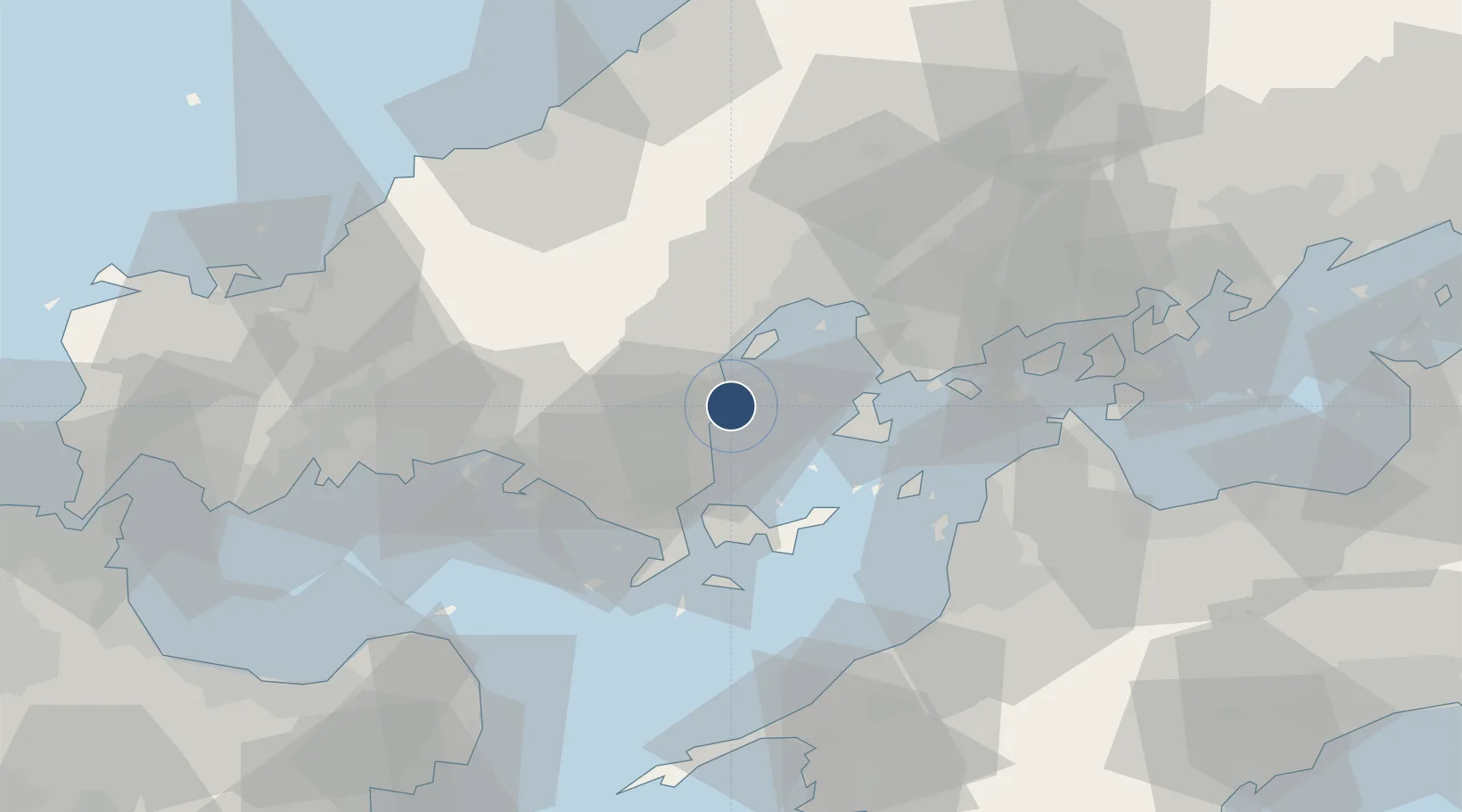
34.1463°, 132.2472°
8,000 ft
Longest runway
2
Runways
7 ft
Elevation
Runway & Layout

Radio Frequencies
ATIS
128.4 MHz
TWR
123.8 MHz
GND
121.3 MHz
CLD
135.7 MHz
CLNC DEL
APP
128 MHz
DEP
128 MHz
ACC
126.1 MHz
FUKUOKA CON
INFO
128.2 MHz
FUKUOKA INFO IWAKUNI
PMSV
34.46 MHz
METRO
PTD
134.1 MHz
Navaids
NEU TACAN Iwakuni 109.80 MHz
Runways · 2
| Runway | Dimensions | Surface | True heading | Lit |
|---|---|---|---|---|
| 02/20 | 8,000 × 150ft | Concrete | 009° | ✓ |
| 02R/20L | 1,200 × 150ft | Concrete | 009° | — |
Airport Specifications
IATA code
IWK
ICAO code
RJOI
Airport class
Medium airport
Scheduled service
Yes
Runway surface
Concrete
Served city
Iwakuni
Location
Nearby Logistics Neighbours
Airports
- 1Matsuyama Airport55 km
- 2JASDF Hofu Airfield66 km
- 3Hiroshima Airport70 km
- 4Iwami Airport72 km
- 5Oita Airport88 km
Cities
- 1Iwakuni5 km
- 2Otake8 km
- 3Tsuzu Yamaguchi12 km
- 4Hiroshima32 km
- 5Aki-gun/Hiroshima34 km
Ports
- 1Iwakuni Ko4 km
- 2Kanokawa Ko18 km
- 3Yanai24 km
- 4Mitsukojima25 km
- 5Kure30 km
Trade Zones
- 1Hiroshima Prefecture Imabari City National Strategic Special Zone33 km
- 2Yamaguchi Next-Generation Agricultural Production Structure Establishment Special Zone35 km
- 3Morisato Kairenkan Takatsu River Basin Hometown Concept Special Zone73 km
- 4Onomichi Regional Medical Cooperation Promotion Special Zone78 km
- 5Saijō Agricultural Innovation City General Special Zone88 km
DatabookThe Record of Consolidated Knowledge
Japan beyond logistics?