Channel & Berth Profile
Pilotage, Tugs & Services
Pilotage compulsoryNO
Pilotage availableYES
Pilotage advisableYES
Local assistanceYES
Tug assistanceYES
Potable waterYES
MedicalYES
Facilities & Capabilities
Container—
Ro-Ro—
Liquid bulk—
Dry bulk—
Oil terminal—
Break bulk—
Dry dock—
RepairsNO
BunkeringYES
Rail linkYES
Dangerous cargo—
ISPS security—
Harbour Specifications
Harbour size
Very Small
Harbour type
Coastal (Breakwater)
Shelter
Fair
Water body
Korea Strait; North Pacific Ocean
Tidal range
2 m
Pilotage
No
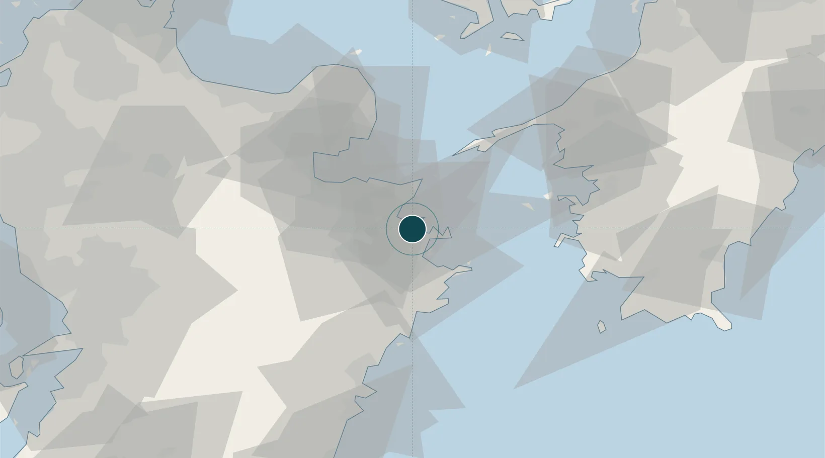
Location
Nearby Logistics Neighbours
Ports
- 1Saiki Ko14 km
- 2Saganoseki Ko19 km
- 3Oita Ko26 km
- 4Beppu42 km
- 5Yawatahama65 km
Cities
- 1Oita25 km
- 2Kitsuki44 km
- 3Bungotakada65 km
- 4Usa69 km
- 5Aso72 km
Airports
- 1Oita Airport46 km
- 2Kumamoto Airport98 km
- 3JASDF Tsuiki Air Base102 km
- 4Yamaguchi Ube Airport109 km
- 5JASDF Hofu Airfield110 km
Trade Zones
DatabookThe Record of Consolidated Knowledge
Japan beyond logistics?