Diversified Zone · Japan
Hiroshima Prefecture Imabari City National Strategic Special Zone Active
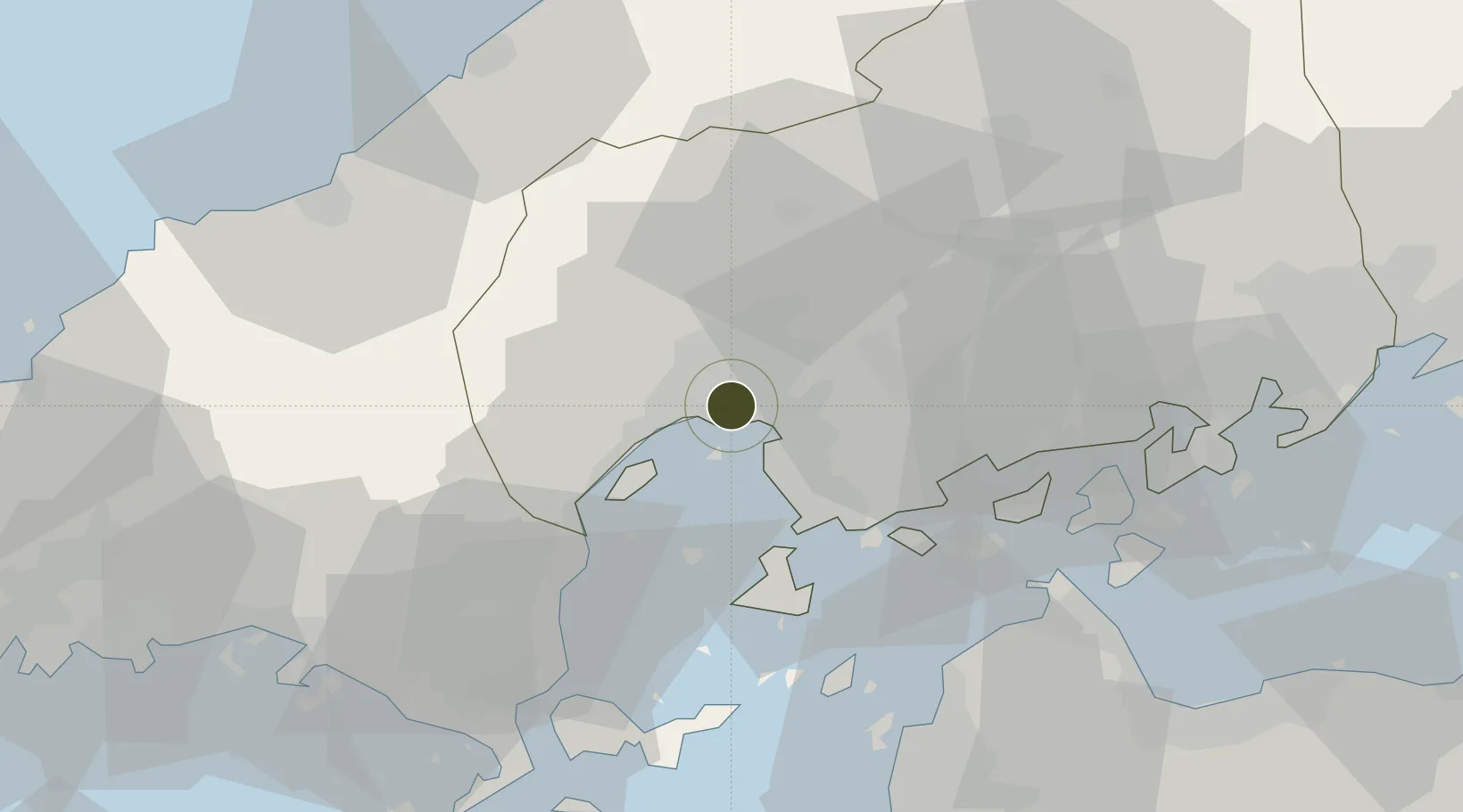
34.3838°, 132.4558°
889,919 ha
Zone area
3.9 km
Nearest port
32.6 km
Nearest airport
Gateway access
Zone profile
Zone type
Diversified Zone
Region
Hiroshima
Status
Active
Management
Public
Operator
Hiroshima Prefectural Government
Legal framework
National Strategic Special Zone Law Act No. 107 of 2013 / Designated as NSSZ at the 18th National Strategic Special Zones Advisory Council December 15 2015
Location
Nearby Logistics Neighbours
Ports
- 1Hiroshima4 km
- 2Kure19 km
- 3Kanokawa Ko22 km
- 4Mitsukojima23 km
- 5Iwakuni Ko29 km
Airports
- 1Iwakuni Kintaikyo Airport33 km
- 2Hiroshima Airport43 km
- 3Matsuyama Airport66 km
- 4Iwami Airport69 km
- 5JASDF Hofu Airfield92 km
Cities
- 1Hiroshima5 km
- 2Aki-gun/Hiroshima9 km
- 3Otake27 km
- 4Iwakuni30 km
- 5Tsuzu Yamaguchi44 km
Trade Zones
- 1Onomichi Regional Medical Cooperation Promotion Special Zone53 km
- 2Yamaguchi Next-Generation Agricultural Production Structure Establishment Special Zone67 km
- 3Morisato Kairenkan Takatsu River Basin Hometown Concept Special Zone68 km
- 4Hiroshima Environmental Tourism Model Urban Development Promotion Special Zone78 km
- 5Saijō Agricultural Innovation City General Special Zone82 km
DatabookThe Record of Consolidated Knowledge
Japan beyond logistics?