Transport Functions
Port
Hub Profile
Region
35
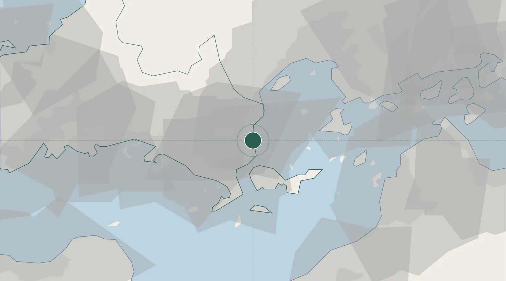
Location
Nearby Logistics Neighbours
Cities
- 1Iwakuni16 km
- 2Otake20 km
- 3Tokuyama37 km
- 4Tokuyamakudamatsu40 km
- 5Hiroshima43 km
Ports
- 1Yanai13 km
- 2Iwakuni Ko16 km
- 3Kanokawa Ko26 km
- 4Hikari27 km
- 5Kudamatsu31 km
Airports
- 1Iwakuni Kintaikyo Airport12 km
- 2Matsuyama Airport52 km
- 3JASDF Hofu Airfield60 km
- 4Oita Airport77 km
- 5Hiroshima Airport79 km
Trade Zones
- 1Yamaguchi Next-Generation Agricultural Production Structure Establishment Special Zone26 km
- 2Hiroshima Prefecture Imabari City National Strategic Special Zone44 km
- 3Morisato Kairenkan Takatsu River Basin Hometown Concept Special Zone80 km
- 4Onomichi Regional Medical Cooperation Promotion Special Zone87 km
- 5Saijō Agricultural Innovation City General Special Zone90 km
DatabookThe Record of Consolidated Knowledge
Japan beyond logistics?