Channel & Berth Profile
Pilotage, Tugs & Services
Tug assistanceYES
Facilities & Capabilities
Container—
Ro-Ro—
Liquid bulk—
Dry bulk—
Oil terminal—
Break bulk—
Dry dock—
Repairs—
BunkeringYES
Rail link—
Dangerous cargo—
ISPS security—
Harbour Specifications
Harbour size
Very Small
Harbour type
Open Roadstead
Shelter
Poor
Water body
Sea of Japan; North Pacific Ocean
Tidal range
1 m
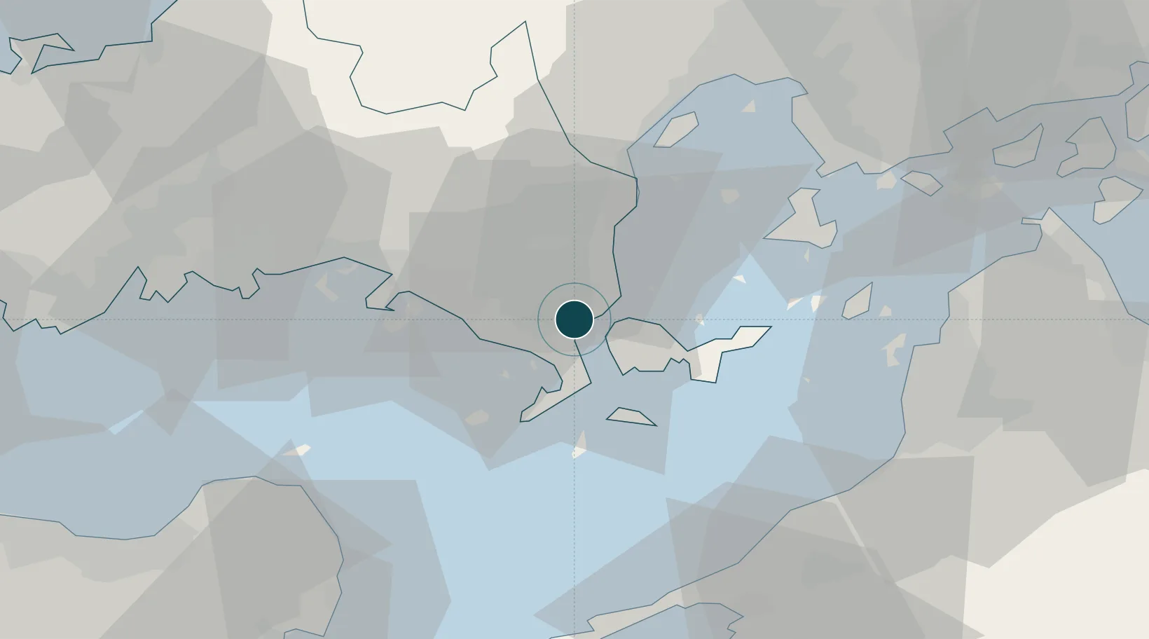
Location
Nearby Logistics Neighbours
Ports
- 1Hikari18 km
- 2Kudamatsu25 km
- 3Iwakuni Ko28 km
- 4Tokuyama31 km
- 5Tonda37 km
Cities
- 1Tsuzu Yamaguchi13 km
- 2Iwakuni28 km
- 3Otake32 km
- 4Tokuyama33 km
- 5Tokuyamakudamatsu34 km
Airports
- 1Iwakuni Kintaikyo Airport24 km
- 2Matsuyama Airport54 km
- 3JASDF Hofu Airfield55 km
- 4Oita Airport64 km
- 5Yamaguchi Ube Airport79 km
Trade Zones
- 1Yamaguchi Next-Generation Agricultural Production Structure Establishment Special Zone18 km
- 2Hiroshima Prefecture Imabari City National Strategic Special Zone57 km
- 3Morisato Kairenkan Takatsu River Basin Hometown Concept Special Zone88 km
- 4Saijō Agricultural Innovation City General Special Zone95 km
- 5Onomichi Regional Medical Cooperation Promotion Special Zone98 km
DatabookThe Record of Consolidated Knowledge
Japan beyond logistics?