Transport Functions
Multimodal
Hub Profile
Region
38
Location
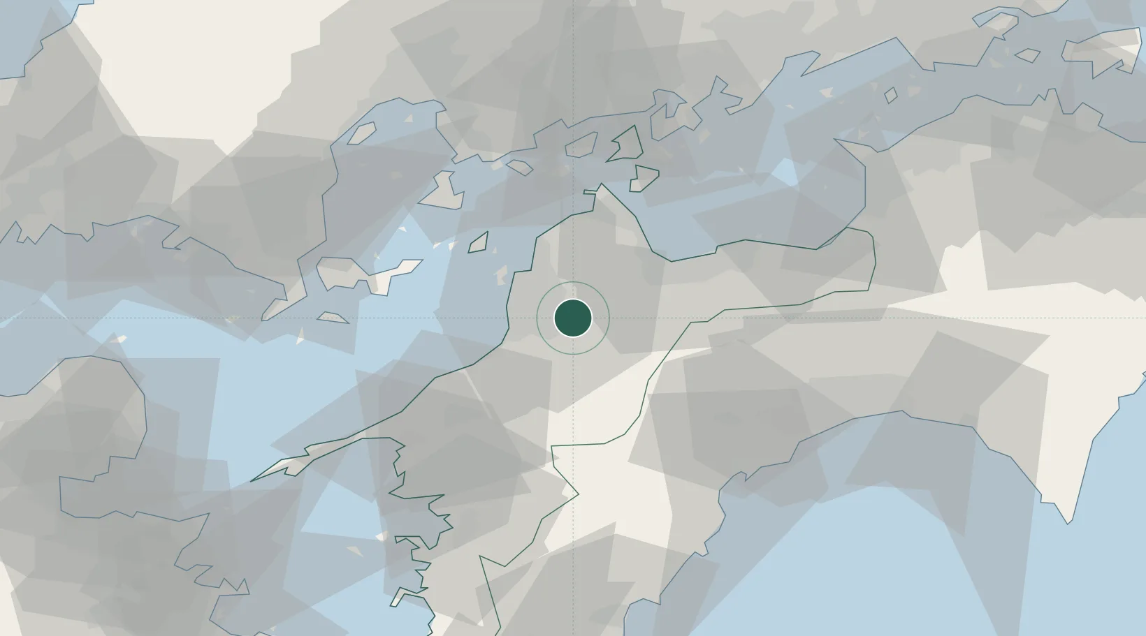
Nearby Logistics Neighbours
Ports
- 1Matsuyama17 km
- 2Kikuma Ko28 km
- 3Imabari Ko34 km
- 4Namikata37 km
- 5Niihama44 km
Airports
- 1Matsuyama Airport16 km
- 2Iwakuni Kintaikyo Airport70 km
- 3Hiroshima Airport73 km
- 4Kochi Ryoma Airport79 km
- 5Oita Airport110 km
Trade Zones
- 1Saijō Agricultural Innovation City General Special Zone32 km
- 2Onomichi Regional Medical Cooperation Promotion Special Zone72 km
- 3Hiroshima Prefecture Imabari City National Strategic Special Zone77 km
- 4Hiroshima Environmental Tourism Model Urban Development Promotion Special Zone85 km
- 5Yamaguchi Next-Generation Agricultural Production Structure Establishment Special Zone88 km
DatabookThe Record of Consolidated Knowledge
Japan beyond logistics?