Seaport · Japan
MatsuyamaJPMYJ
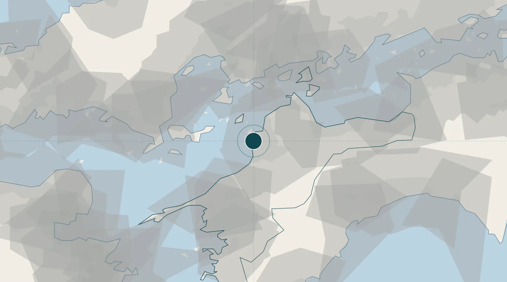
33.8500°, 132.7000°
9.4 m
Channel depth
1
Container terminals
58.3
Port liner connectivity
Channel & Berth Profile
Pilotage, Tugs & Services
Pilotage compulsoryNO
Pilotage availableYES
Pilotage advisableYES
Tug assistanceYES
Shore powerNO
Potable waterYES
MedicalYES
Facilities & Capabilities
Container—
Ro-Ro—
Liquid bulk—
Dry bulk—
Oil terminal—
Break bulk—
Dry dock—
RepairsNO
BunkeringYES
Rail linkYES
Dangerous cargo—
ISPS security—
Harbour Specifications
Harbour size
Small
Harbour type
Coastal (Breakwater)
Shelter
Fair
Water body
Sea of Japan; North Pacific Ocean
Tidal range
3 m
Pilotage
No
Liner Connectivity
58.3
PLSCI
Port Liner Shipping Connectivity Index for Matsuyama, as published by UNCTAD for the latest available quarter. Higher values indicate stronger scheduled liner-shipping integration.
Shown relative to the highest per-port PLSCI in the dataset (1,657.9).
Location
Container Terminals · 1
MATSUYAMA PORT CONTAINER TERMINAL
MPCT
Nearby Logistics Neighbours
Ports
- 1Kikuma Ko24 km
- 2Namikata35 km
- 3Imabari Ko38 km
- 4Mitsukojima41 km
- 5Kanokawa Ko45 km
Cities
- 1Toon, Ehime17 km
- 2Toyo36 km
- 3Imabari38 km
- 4Yoshiumi44 km
- 5Tsuzu Yamaguchi51 km
Airports
- 1Matsuyama Airport3 km
- 2Iwakuni Kintaikyo Airport53 km
- 3Hiroshima Airport68 km
- 4Kochi Ryoma Airport96 km
- 5Oita Airport98 km
Trade Zones
- 1Saijō Agricultural Innovation City General Special Zone44 km
- 2Hiroshima Prefecture Imabari City National Strategic Special Zone64 km
- 3Onomichi Regional Medical Cooperation Promotion Special Zone70 km
- 4Yamaguchi Next-Generation Agricultural Production Structure Establishment Special Zone71 km
- 5Hiroshima Environmental Tourism Model Urban Development Promotion Special Zone87 km
DatabookThe Record of Consolidated Knowledge
Japan beyond logistics?