Medium airport · Japan
JASDF Hofu AirfieldRJOF
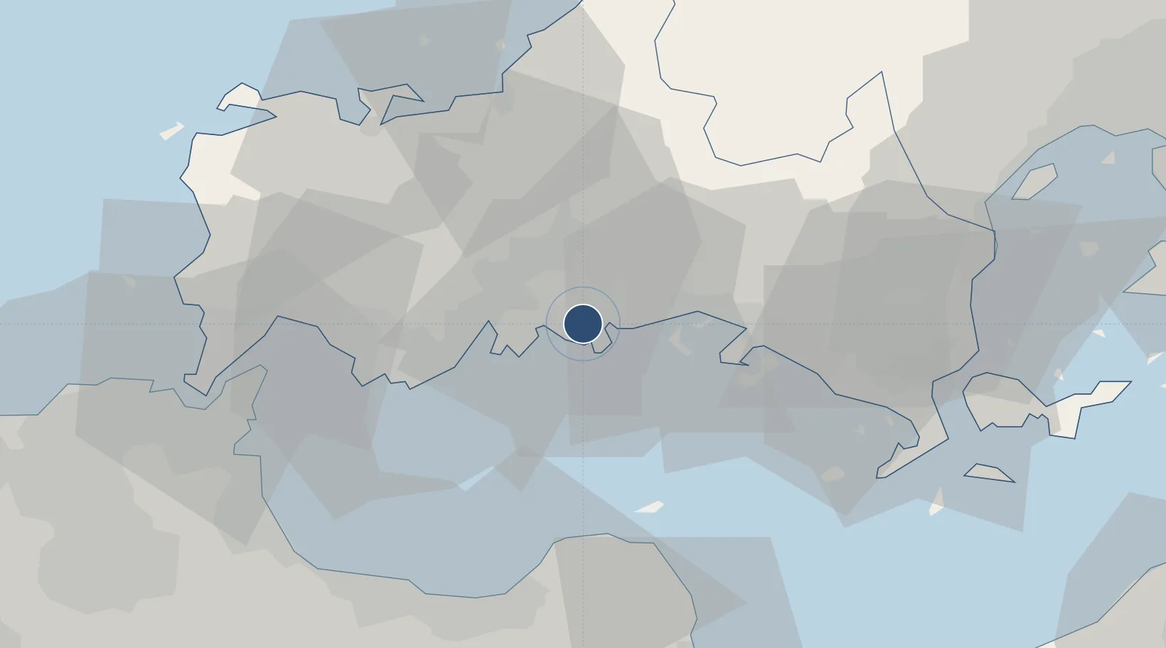
34.0347°, 131.5487°
4,856 ft
Longest runway
2
Runways
7 ft
Elevation
Runway & Layout

Radio Frequencies
TWR
126.2 MHz
GND
133 MHz
Navaids
FMT TACAN Hofu 113.00 MHz
Runways · 2
| Runway | Dimensions | Surface | True heading | Lit |
|---|---|---|---|---|
| 12/30 | 4,856 × 148ft | Concrete | 109° | ✓ |
| 01/19 | 3,871 × 197ft | Asphalt | 359° | ✓ |
Airport Specifications
ICAO code
RJOF
Airport class
Medium airport
Scheduled service
No
Runway surface
Concrete
Served city
Hofu
Location
Nearby Logistics Neighbours
Airports
- 1Yamaguchi Ube Airport28 km
- 2Kitakyushu Airport52 km
- 3JASDF Tsuiki Air Base61 km
- 4Oita Airport64 km
- 5Iwakuni Kintaikyo Airport66 km
Cities
- 1Nakanoseki2 km
- 2Hofu3 km
- 3Mitajiri3 km
- 4Tokuyamakudamatsu21 km
- 5Tokuyama23 km
Trade Zones
- 1Yamaguchi Next-Generation Agricultural Production Structure Establishment Special Zone37 km
- 2Morisato Kairenkan Takatsu River Basin Hometown Concept Special Zone77 km
- 3Hiroshima Prefecture Imabari City National Strategic Special Zone92 km
- 4Higashi Kyushu Medical Valley Concept Special Zone113 km
- 5Green Asia International Strategic Comprehensive Special Zone115 km
DatabookThe Record of Consolidated Knowledge
Japan beyond logistics?