Economic Revitalization Project · Japan
Aso Grassland Special Zone Active
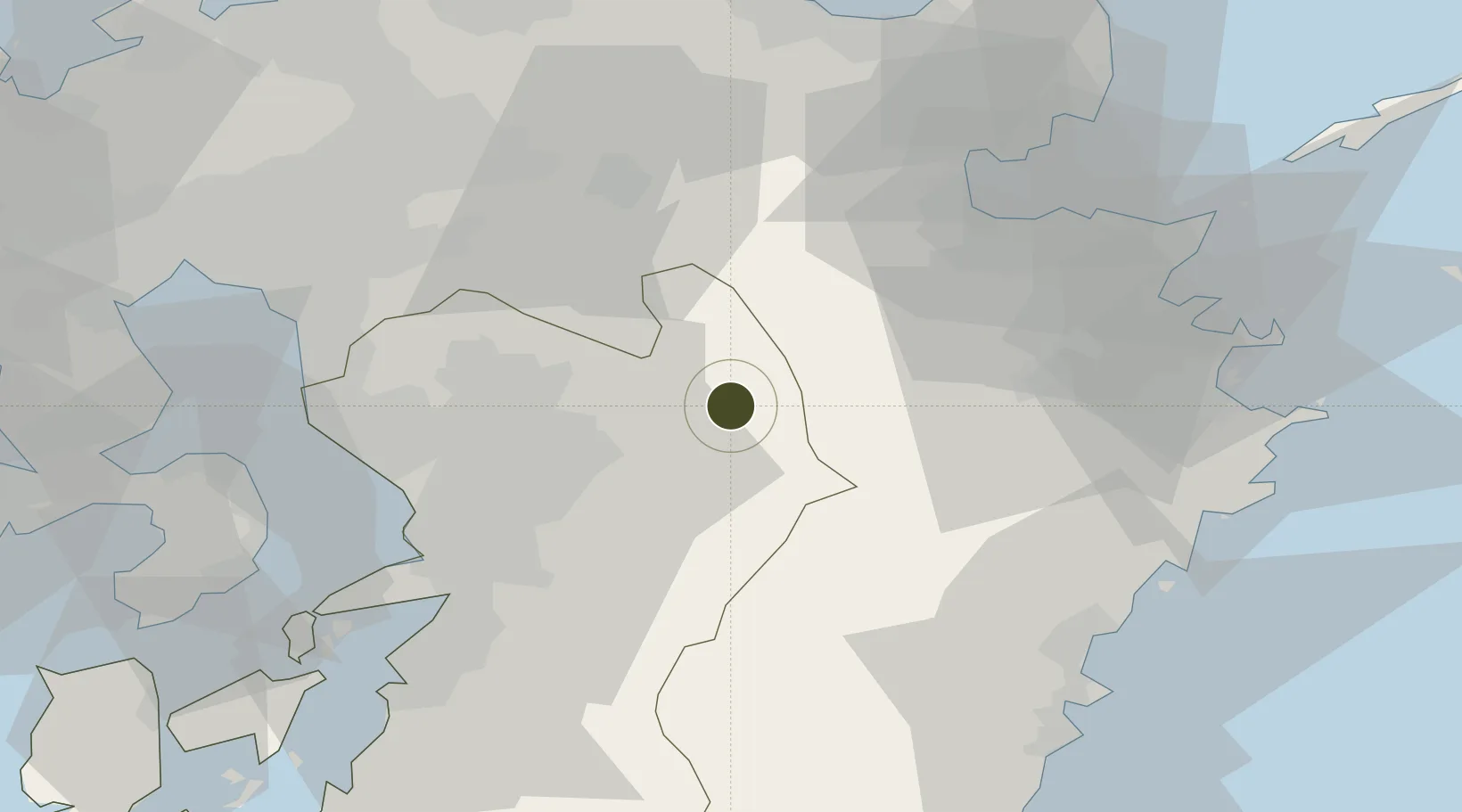
32.9520°, 131.1213°
70,301 ha
Zone area
54.8 km
Nearest port
27.9 km
Nearest airport
Gateway access
Zone profile
Zone type
Economic Revitalization Project
Region
Kumamoto
Status
Active
Management
Public
Operator
Aso City
Legal framework
Comprehensive Special Zone Law (Law No. 81 of 2011)
Location
Nearby Logistics Neighbours
Ports
- 1Beppu55 km
- 2Oita Ko61 km
- 3Miike Ko66 km
- 4Tsukumi Ko71 km
- 5Misumi Ko73 km
Airports
- 1Kumamoto Airport28 km
- 2Kyushu Saga International Airport80 km
- 3JASDF Tsuiki Air Base82 km
- 4Oita Airport82 km
- 5Fukuoka Airport94 km
Cities
- 1Aso2 km
- 2Ozu, Kumamoto26 km
- 3Kikuchi Kumamoto29 km
- 4Koshi33 km
- 5Hida, Oita44 km
DatabookThe Record of Consolidated Knowledge
Japan beyond logistics?