Transport Functions
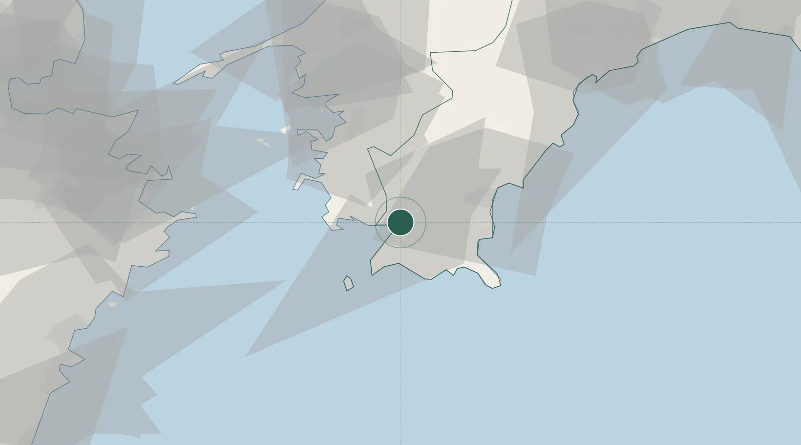
Port
Hub Profile
Region
39
Location
Nearby Logistics Neighbours
Cities
- 1Saga40 km
- 2Tosa, Kochi93 km
- 3Ino97 km
- 4Toon, Ehime97 km
- 5Oita103 km
Ports
- 1Uwajima Ko36 km
- 2Yawatahama66 km
- 3Saiki Ko73 km
- 4Susaki Ko75 km
- 5Tsukumi Ko81 km
Airports
- 1Matsuyama Airport101 km
- 2Oita Airport111 km
- 3Kochi Ryoma Airport113 km
- 4Iwakuni Kintaikyo Airport144 km
- 5JASDF Hofu Airfield165 km
Trade Zones
- 1Saijō Agricultural Innovation City General Special Zone121 km
- 2Yamaguchi Next-Generation Agricultural Production Structure Establishment Special Zone137 km
- 3Aso Grassland Special Zone149 km
- 4Hiroshima Prefecture Imabari City National Strategic Special Zone165 km
- 5Onomichi Regional Medical Cooperation Promotion Special Zone169 km
DatabookThe Record of Consolidated Knowledge
Japan beyond logistics?