Channel & Berth Profile
Pilotage, Tugs & Services
Pilotage compulsoryNO
Pilotage availableYES
Tug assistanceYES
Potable waterYES
MedicalYES
Facilities & Capabilities
Container—
Ro-Ro—
Liquid bulk—
Dry bulk—
Oil terminal—
Break bulk—
Dry dock—
RepairsNO
BunkeringYES
Rail link—
Dangerous cargo—
ISPS security—
Harbour Specifications
Harbour size
Small
Harbour type
Coastal (Breakwater)
Shelter
Fair
Water body
East China Sea; North Pacific Ocean
Tidal range
2 m
Overhead limit
No
Pilotage
No
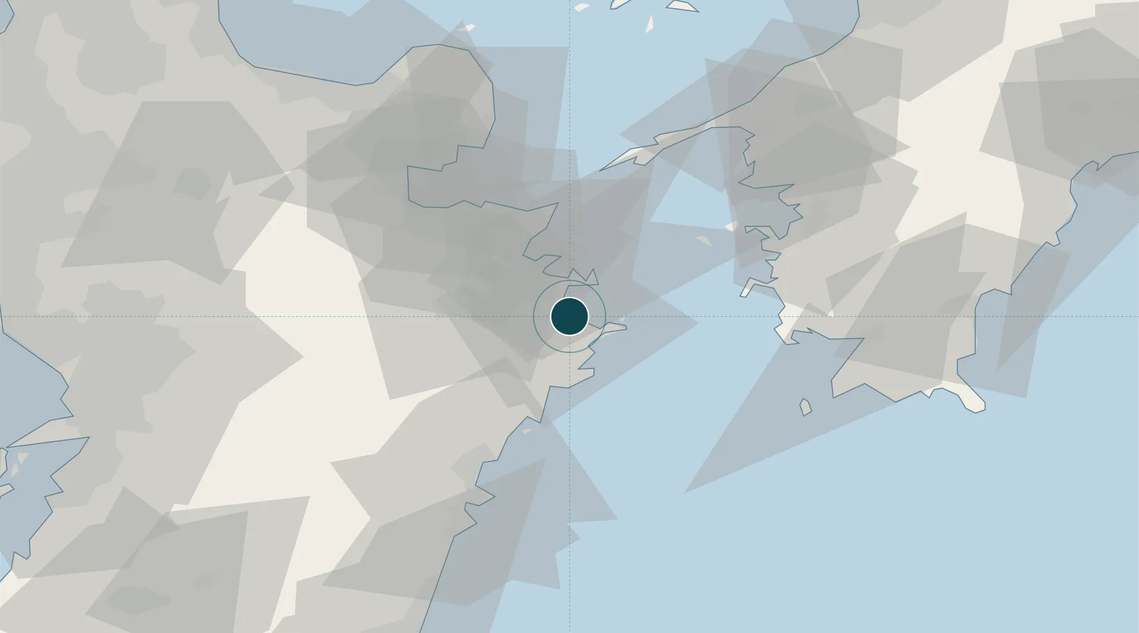
Location
Nearby Logistics Neighbours
Ports
- 1Tsukumi Ko14 km
- 2Saganoseki Ko32 km
- 3Oita Ko40 km
- 4Beppu55 km
- 5Hososhima Ko64 km
Airports
- 1Oita Airport60 km
- 2Kumamoto Airport102 km
- 3JASDF Tsuiki Air Base115 km
- 4Matsuyama Airport119 km
- 5Yamaguchi Ube Airport123 km
Trade Zones
- 1Aso Grassland Special Zone76 km
- 2Yamaguchi Next-Generation Agricultural Production Structure Establishment Special Zone111 km
- 3Saijō Agricultural Innovation City General Special Zone157 km
- 4Kyushu Asia Tourism Island Comprehensive Special Zone158 km
- 5Green Asia International Strategic Comprehensive Special Zone158 km
DatabookThe Record of Consolidated Knowledge
Japan beyond logistics?