Channel & Berth Profile
Pilotage, Tugs & Services
Pilotage compulsoryYES
Pilotage availableYES
Pilotage advisableYES
Tug assistanceYES
Potable waterYES
MedicalYES
Facilities & Capabilities
Container—
Ro-Ro—
Liquid bulk—
Dry bulk—
Oil terminal—
Break bulk—
Dry dock—
Repairs—
BunkeringNO
Rail linkYES
Dangerous cargo—
ISPS security—
Harbour Specifications
Harbour size
Very Small
Harbour type
Coastal (Breakwater)
Shelter
Fair
Water body
Sea of Japan; North Pacific Ocean
Tidal range
2 m
Overhead limit
Yes
Pilotage
Yes
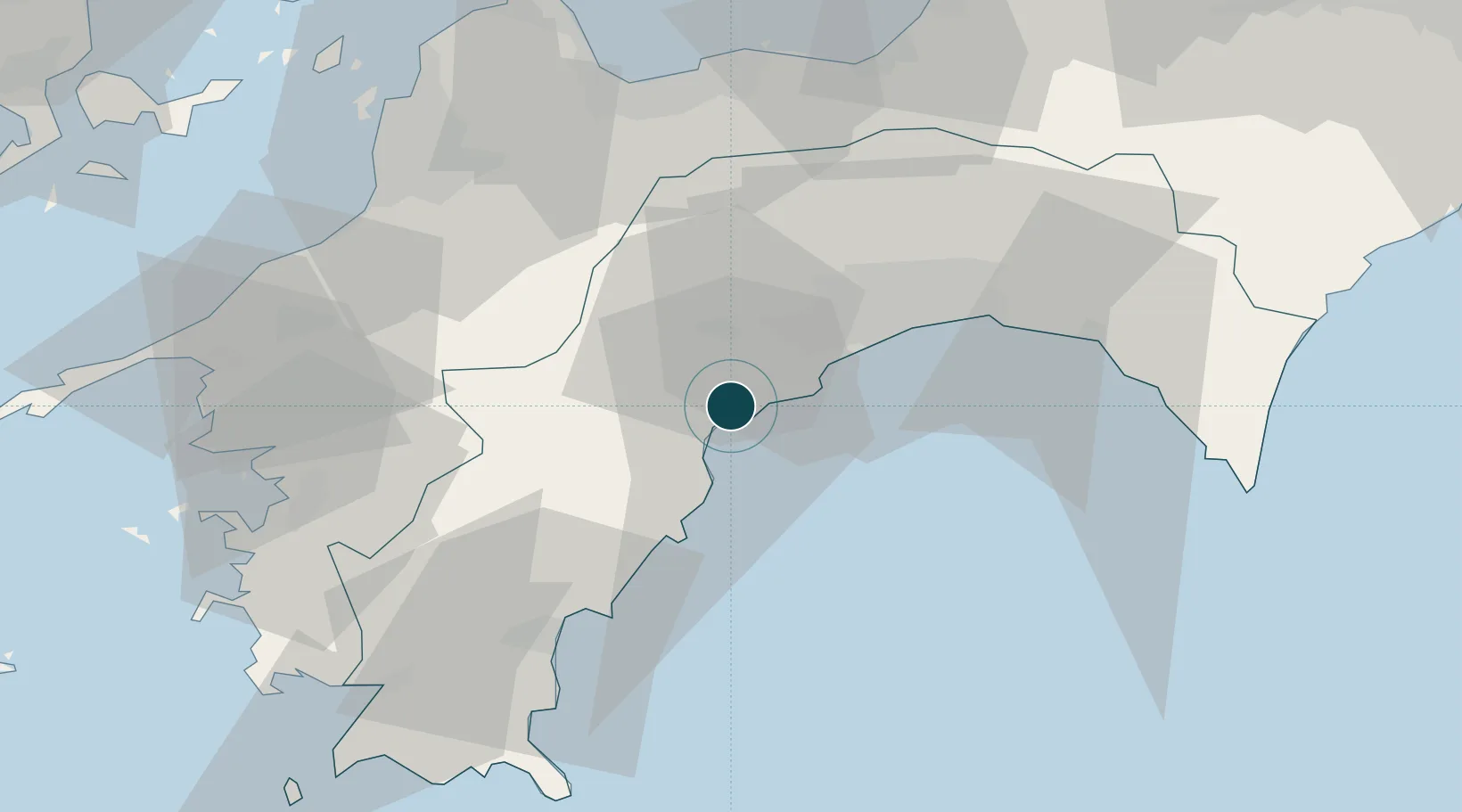
Location
Nearby Logistics Neighbours
Ports
- 1Kochi Ko28 km
- 2Niihama67 km
- 3Uwajima Ko71 km
- 4Mishima-Kawanoe Ko72 km
- 5Matsuyama76 km
Cities
- 1Tosa, Kochi18 km
- 2Ino22 km
- 3Kochi30 km
- 4Saga38 km
- 5Aki, Kochi57 km
Airports
- 1Kochi Ryoma Airport39 km
- 2Matsuyama Airport74 km
- 3Takamatsu Airport114 km
- 4Hiroshima Airport122 km
- 5Iwakuni Kintaikyo Airport129 km
Trade Zones
- 1Saijō Agricultural Innovation City General Special Zone63 km
- 2Kagawa Medical Welfare General Special Zone111 km
- 3Onomichi Regional Medical Cooperation Promotion Special Zone117 km
- 4Hiroshima Environmental Tourism Model Urban Development Promotion Special Zone119 km
- 5Takamatsu Compact Eco-City Special Zone129 km
DatabookThe Record of Consolidated Knowledge
Japan beyond logistics?