Transport Functions
Port
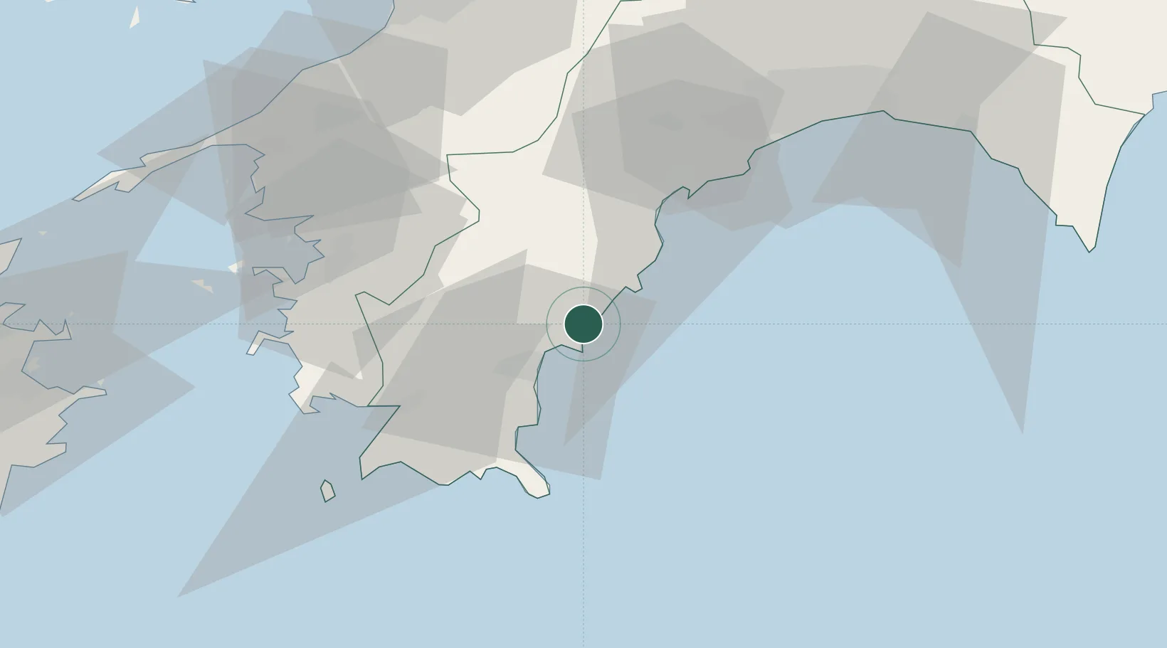
Hub Profile
Place type
Populated place
Region
Kochi
Time zone
Asia/Tokyo
Elevation
9 m
Location
Nearby Logistics Neighbours
Cities
- 1Sukumowan40 km
- 2Tosa, Kochi56 km
- 3Ino60 km
- 4Kochi66 km
- 5Toon, Ehime81 km
Ports
- 1Susaki Ko38 km
- 2Uwajima Ko52 km
- 3Kochi Ko64 km
- 4Yawatahama76 km
- 5Matsuyama93 km
Airports
- 1Kochi Ryoma Airport74 km
- 2Matsuyama Airport91 km
- 3Oita Airport134 km
- 4Iwakuni Kintaikyo Airport142 km
- 5Hiroshima Airport151 km
Trade Zones
- 1Saijō Agricultural Innovation City General Special Zone95 km
- 2Yamaguchi Next-Generation Agricultural Production Structure Establishment Special Zone145 km
- 3Onomichi Regional Medical Cooperation Promotion Special Zone148 km
- 4Kagawa Medical Welfare General Special Zone149 km
- 5Hiroshima Environmental Tourism Model Urban Development Promotion Special Zone154 km
DatabookThe Record of Consolidated Knowledge
Japan beyond logistics?