Seaport · Japan
Onahama KoJPONA
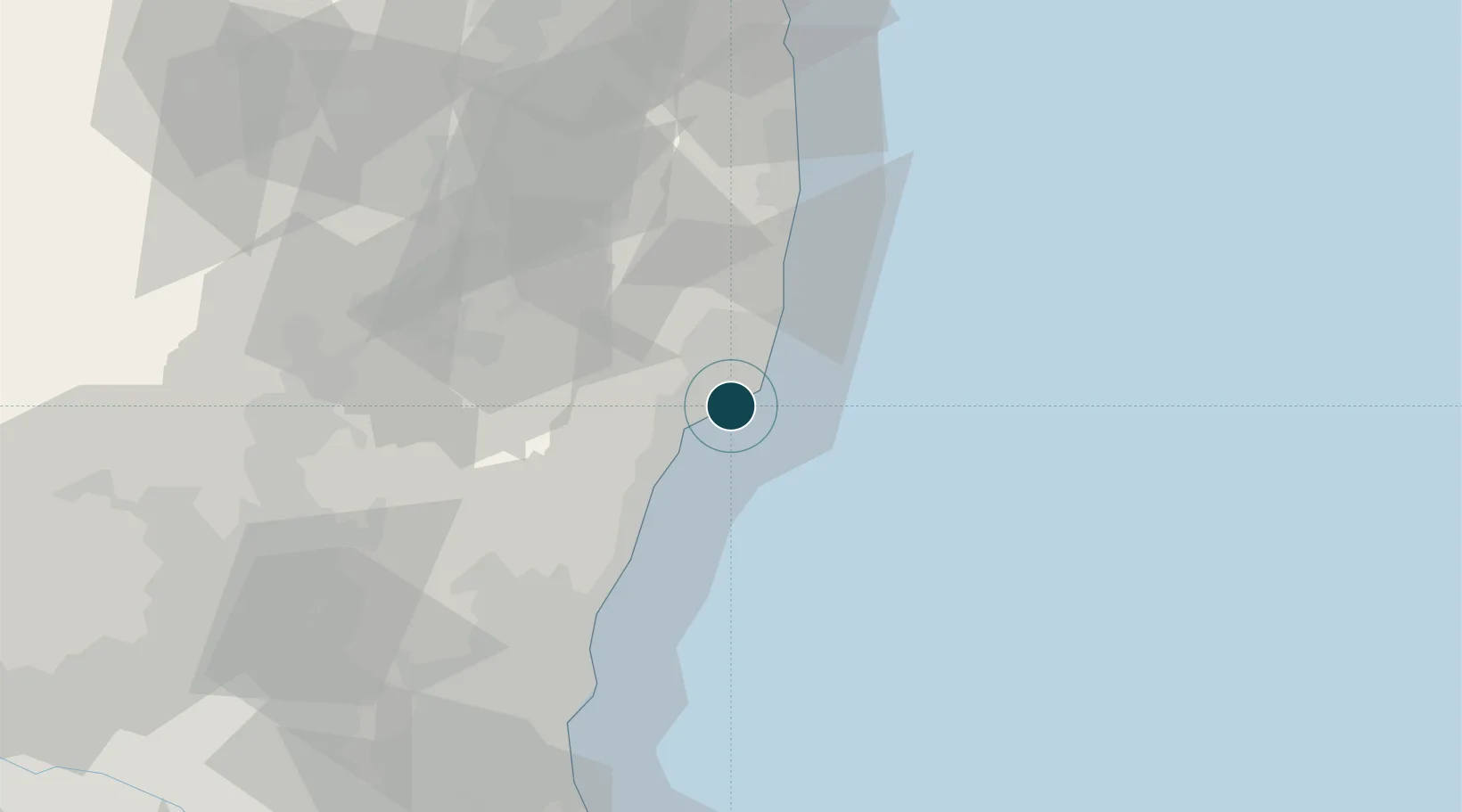
36.9333°, 140.9000°
11.0 m
Channel depth
1
Container terminals
18.5
Port liner connectivity
Channel & Berth Profile
Pilotage, Tugs & Services
Pilotage compulsoryNO
Pilotage availableYES
Pilotage advisableYES
Tug assistanceYES
Shore powerYES
Potable waterYES
MedicalYES
Facilities & Capabilities
Container—
Ro-Ro—
Liquid bulk—
Dry bulk—
Oil terminal—
Break bulk—
Dry dock—
RepairsNO
BunkeringYES
Rail link—
Dangerous cargo—
ISPS security—
Harbour Specifications
Harbour size
Small
Harbour type
Coastal (Breakwater)
Shelter
Good
Water body
North Pacific Ocean
Tidal range
3 m
Pilotage
No
Liner Connectivity
18.5
PLSCI
Port Liner Shipping Connectivity Index for Onahama Ko, as published by UNCTAD for the latest available quarter. Higher values indicate stronger scheduled liner-shipping integration.
Shown relative to the highest per-port PLSCI in the dataset (1,657.9).
Location
Container Terminals · 1
ONAHAMA OTSURUGI WHARF NO. 4 BERTH
OU04C ONAHAMA PORT AUTHORITY
Nearby Logistics Neighbours
Ports
- 1Hitachi54 km
- 2Soma100 km
- 3Kashima Ko113 km
- 4Choshi134 km
- 5Sendai-Shiogama154 km
Cities
- 1Tanagura, Fukushima48 km
- 2Hitachi55 km
- 3Hitachinaka61 km
- 4Tamura63 km
- 5Naka65 km
Airports
- 1Fukushima Airport53 km
- 2Ibaraki International Airport94 km
- 3Utsunomiya Airport103 km
- 4Sendai Airport134 km
- 5Narita International Airport137 km
DatabookThe Record of Consolidated Knowledge
Japan beyond logistics?