Economic Revitalization Project · Japan

Saitama Next-Generation Automobile Smart Energy Special Zone Inactive
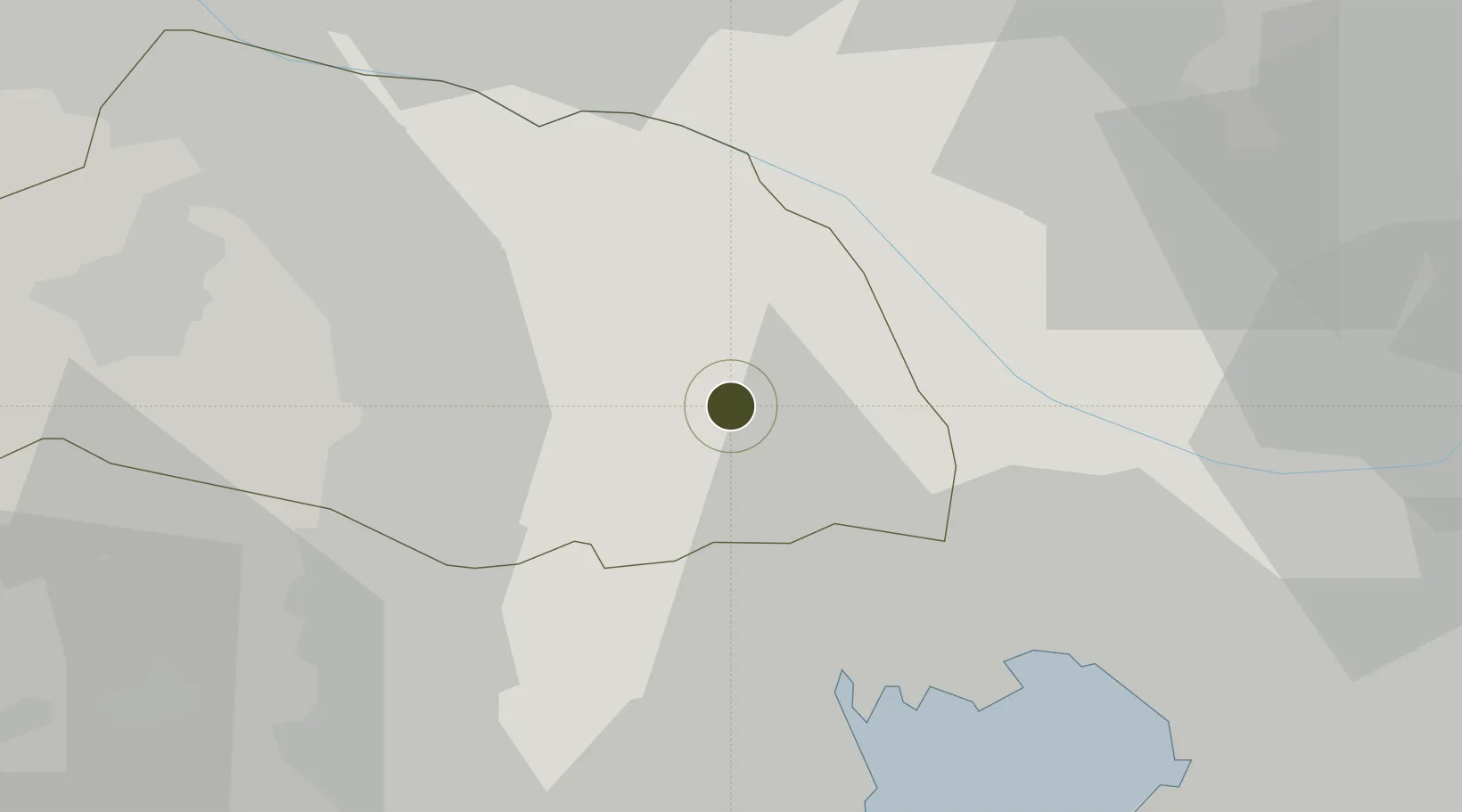
35.9083°, 139.6579°
21,743 ha
Zone area
28.1 km
Nearest port
23.4 km
Nearest airport

Gateway access

Nearest neighbours — logibook spatial index (haversine) over the source coordinates

Zone profile

Zone type
Economic Revitalization Project
Open Zone Map
Region
Saitama
Open Zone Map
Status
Inactive
Open Zone Map
Management
Public
Open Zone Map
Operator
Saitama City Environment Bureau - Future City Promotion Division
Open Zone Map
Legal framework
National Government Zone Designation 2011
Open Zone Map

Location

Location of ozm-2573
Natural Earth 10m (public domain) · Saitama · ozm-2573 · 35.91, 139.66GoogleOSMYandex

Nearby Logistics Neighbours

Ports
  1. 1Tokyo Ko28 km
  2. 2Funabashi38 km
  3. 3Kawasaki Ko47 km
  4. 4Yokohama Ko51 km
  5. 5Chiba Ko52 km
Nearest neighbours — logibook spatial index (haversine) over the source coordinates
Airports
  1. 1Iruma Air Base23 km
  2. 2Chofu Airport29 km
  3. 3Yokota Air Base33 km
  4. 4JMSDF Shimofusa Air Base34 km
  5. 5Tokyo Haneda International Airport42 km
Nearest neighbours — logibook spatial index (haversine) over the source coordinates
Cities
  1. 1Ageo9 km
  2. 2Soka10 km
  3. 3Hasuda10 km
  4. 4Toda10 km
  5. 5Shiki11 km
Nearest neighbours — logibook spatial index (haversine) over the source coordinates
DatabookThe Record of Consolidated Knowledge
Japan beyond logistics?
Browse databook

All Sources

Trade ZonesOpen Zone Map
CC BY
Portsthe NGA World Port Index
Public domain (US gov)
AirportsOurAirports
Public domain
LocationsUN/LOCODE
UN/LOCODE — free
← Japan trade zones