Transport Functions
Road
Multimodal
Hub Profile
Region
07
Location
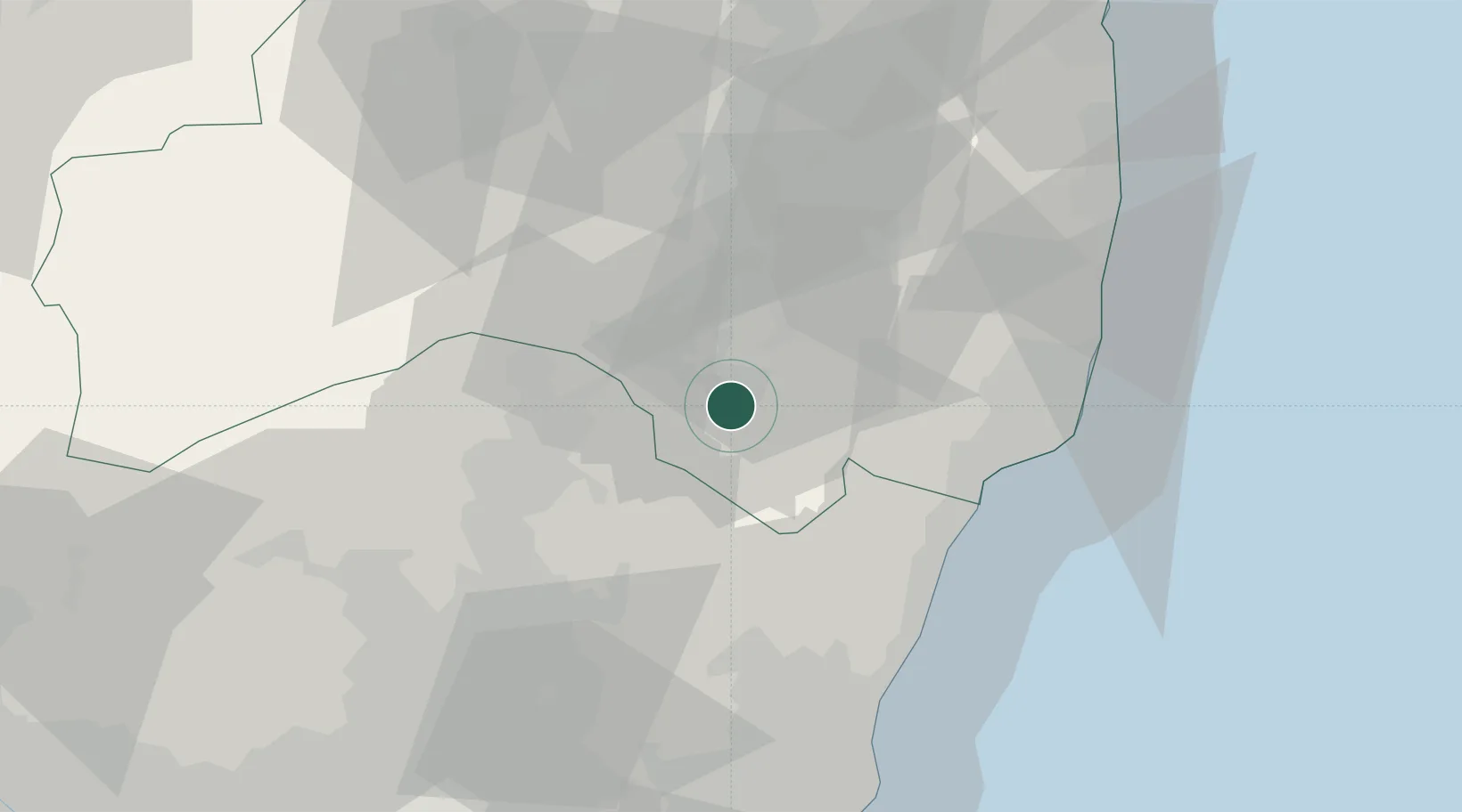
Nearby Logistics Neighbours
Cities
- 1Shirakawa19 km
- 2Nasushiobara29 km
- 3Otawara35 km
- 4Onahama46 km
- 5Tamura50 km
Ports
- 1Onahama Ko48 km
- 2Hitachi62 km
- 3Soma104 km
- 4Kashima Ko124 km
- 5Choshi149 km
Airports
- 1Fukushima Airport24 km
- 2Utsunomiya Airport71 km
- 3Ibaraki International Airport93 km
- 4Sendai Airport134 km
- 5Narita International Airport139 km
Trade Zones
- 1Tsukuba International Strategic Comprehensive Special Zone111 km
- 2Kashiwanoha Campus Special Zone130 km
- 3Gunma Environmentally Friendly Livestock Promotion Special Zone133 km
- 4Gunma Cancer Treatment Technology Regional Revitalization Comprehensive Special Zone135 km
- 5Saitama Next-Generation Automobile Smart Energy Special Zone139 km
DatabookThe Record of Consolidated Knowledge
Japan beyond logistics?