Large airport · Japan
Narita International AirportRJAA
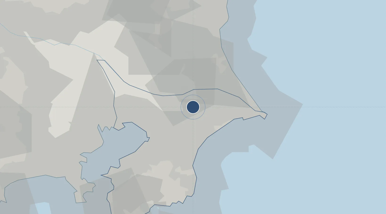
35.7686°, 140.3887°
13,123 ft
Longest runway
2
Runways
141 ft
Elevation
Runway & Layout

Radio Frequencies
ATIS
128.25 MHz
TWR
118.2 MHz
TWR
118.35 MHz
GND
121.85 MHz
GND
121.95 MHz
CLD
121.9 MHz
CLNC DEL
APP
124.4 MHz
TOKYO APP
DEP
124.2 MHz
TOKYO DEP
CLR
121.65 MHz
CLNC DEL
RDR
120.2 MHz
TOKYO RDR
RMP
121.6 MHz
RAMP
RMP
121.75 MHz
RAMP
TCA
119.45 MHz
TOKYO TCA
Navaids
NRE VOR-DME Narita 117.90 MHz
TYE VOR-DME Sakura 112.70 MHz
Runways · 2
| Runway | Dimensions | Surface | True heading | Lit |
|---|---|---|---|---|
| 16R/34L | 13,123 × 196ft | Asphalt | 150° | ✓ |
| 16L/34R | 8,202 × 196ft | Asphalt | 150° | ✓ |
Airport Specifications
IATA code
NRT
ICAO code
RJAA
Airport class
Large airport
Scheduled service
Yes
Runway surface
Asphalt
Served city
Narita
Location
Nearby Logistics Neighbours
Airports
Cities
- 1Katori-Gun6 km
- 2Narita, Chiba7 km
- 3Tomisato8 km
- 4Shisui Chiba12 km
- 5Katori14 km
Ports
- 1Kashima Ko34 km
- 2Chiba Ko36 km
- 3Funabashi41 km
- 4Choshi42 km
- 5Tokyo Ko59 km
DatabookThe Record of Consolidated Knowledge
Japan beyond logistics?