UN/LOCODE hub · Japan
JPHTC
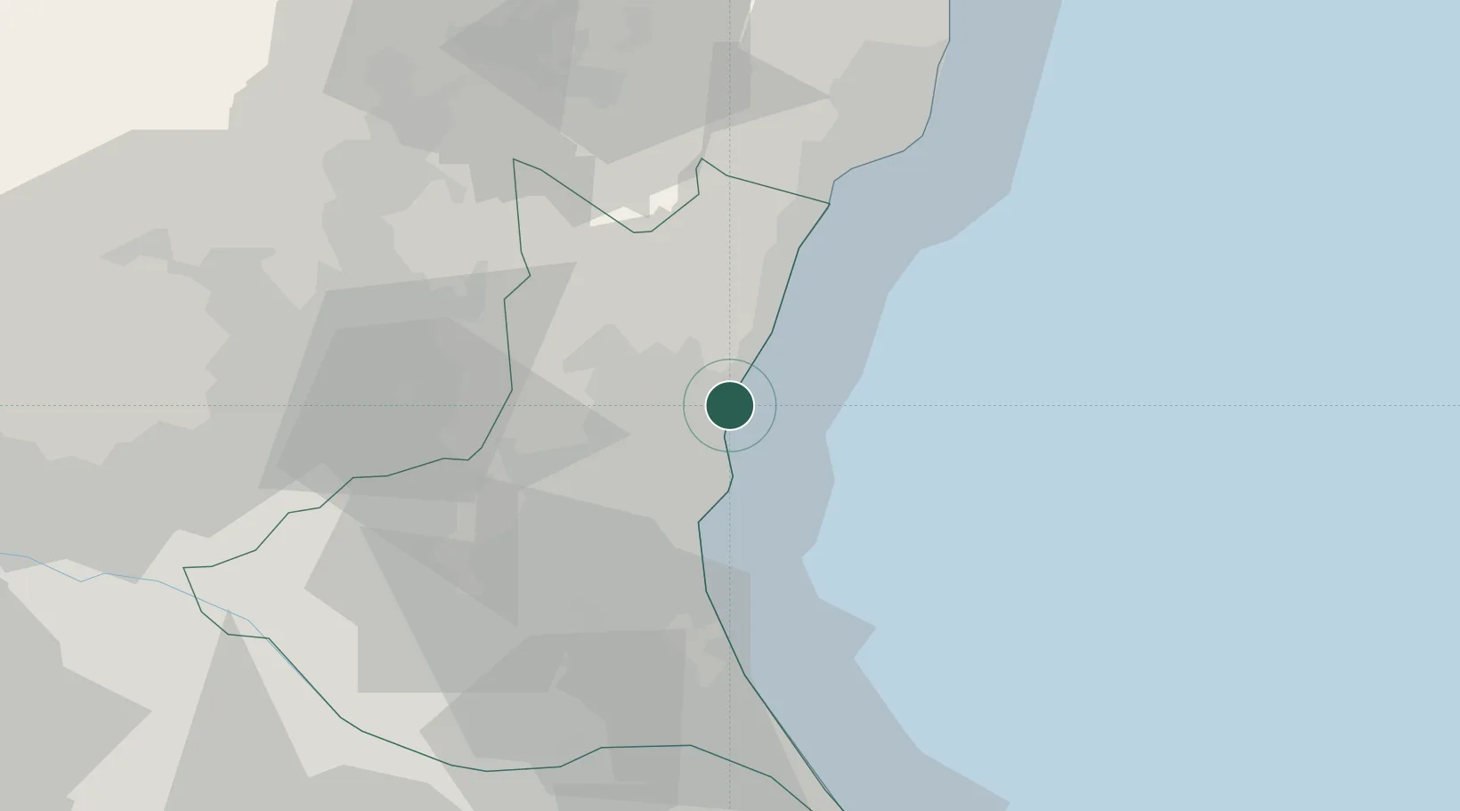
Hitachi
36.4894°, 140.6197°
174,508
Population
1
Transport functions
1
Container terminals
Transport Functions
Port
Hub Profile
Place type
Provincial seat
Region
Ibaraki
Population
174,508
Time zone
Asia/Tokyo
Elevation
51 m
Logistics facilities
1
Container terminals
1
Location
Nearby Logistics Neighbours
Cities
- 1Hitachinaka6 km
- 2Naka13 km
- 3Kasama37 km
- 4Omitama37 km
- 5Ishioka47 km
Ports
- 1Onahama Ko55 km
- 2Kashima Ko62 km
- 3Choshi87 km
- 4Funabashi110 km
- 5Chiba Ko112 km
Airports
- 1Ibaraki International Airport39 km
- 2Utsunomiya Airport67 km
- 3Narita International Airport83 km
- 4Fukushima Airport84 km
- 5JMSDF Shimofusa Air Base94 km
DatabookThe Record of Consolidated Knowledge
Japan beyond logistics?