Economic Revitalization Project · Japan
Special Recycling Resources Zone for Rare Metals Active
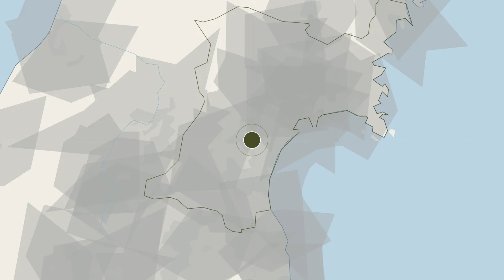
38.2547°, 140.8340°
200 ha
Zone area
18.7 km
Nearest port
14.7 km
Nearest airport
Gateway access
Zone profile
Zone type
Economic Revitalization Project
Region
Miyagi
Status
Active
Management
Public
Operator
Akita Prefecture Industrial Labor Department Resources and Energy Industry Division
Legal framework
Akita Prefecture Regional Activation Policy
Location
Nearby Logistics Neighbours
Ports
- 1Sendai-Shiogama19 km
- 2Ishinomaki Ko45 km
- 3Soma48 km
- 4Onagawa58 km
- 5Kesennuma Ko95 km
Airports
- 1Sendai Airport15 km
- 2JASDF Matsushima Air Base38 km
- 3Yamagata Airport44 km
- 4Shonai Airport110 km
- 5Fukushima Airport120 km
Cities
- 1Tomiya15 km
- 2Sendai, Miyagi16 km
- 3Sendaishiogama16 km
- 4Sagae51 km
- 5Tome-Shi59 km
DatabookThe Record of Consolidated Knowledge
Japan beyond logistics?